Navigate:
Top -->South Bay Area
-->Forest of Nisene Marks
Overview :
- Type of trail : Out and back
- Distance as rode : 12 miles
- Total Miles (Available) : 20+ miles (Connects to Soquel Demo Forest)
- Climbing Distance : ~600 feet
- Trip Duration : ~2 hours (with kids)
- Difficulty : 2 (Scale of 1-10)
- Trail Type : 15% Singletrack, 85% Fireroad
- Cardio : Easy
Highlights :
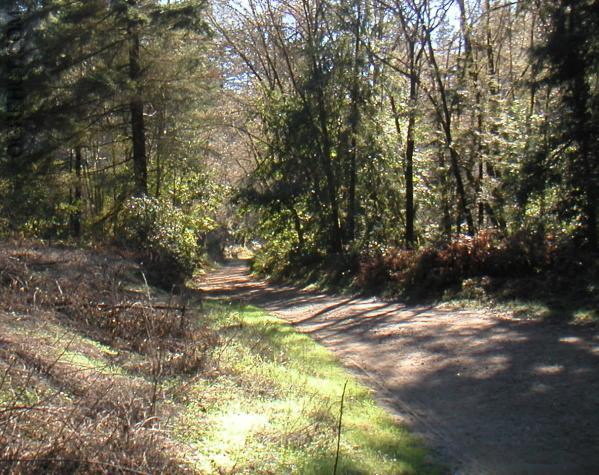
The Forest of Nice Clean Parks Forest of Nisene Marks is beautiful park with a nice
wide road through the middle. The scenery is
beautiful and the trail is smooth enough and the grade easy enough that this is a
very popular place for the locals to take there families. If you decide to show up
on a weekend expect lots of traffic.
Note: The State Park sites list it as Nisene Marks, elsewhere it's listed as
Nicene Marks. I changed the spelling on my site to reflect this.
Bummer :
Not enough Singletrack, heavy traffic
Location
Located just south of Santa Cruz in Aptos. From Santa Cruz take highway 1
South to the "State Park Drive" exit. Turn right on Soquel Drive and drive 1
mile to Aptos Creek Road. Turn left on Aptos Creek Road and look for parking
in a dirt lot on the right hand side. Follow Aptos Creek road into the park
and keep an eye out for a trailhead on the left if you want to catch the
singletrack at the beginning.
Links
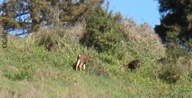
As we were unloading the car we noticed a herd of deer on the hillside
above us, what a great way to start a ride.
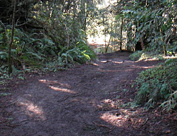
There is a couple of miles of singletrack which parrallels
the road before you cross the "metal bridge". The trail curves away and
then back to the road several times so keep an eye out for a trailhead near
the entrance to the park. Once you pass the parking area you will be confined
to the fireroad.
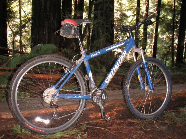
Hoppy, my wifes new Specialized Rock Hopper. At the time of the
ride my Sugar was in the shop due to the second frame crack so I was
borrowing Hoppy until I had wheels again.
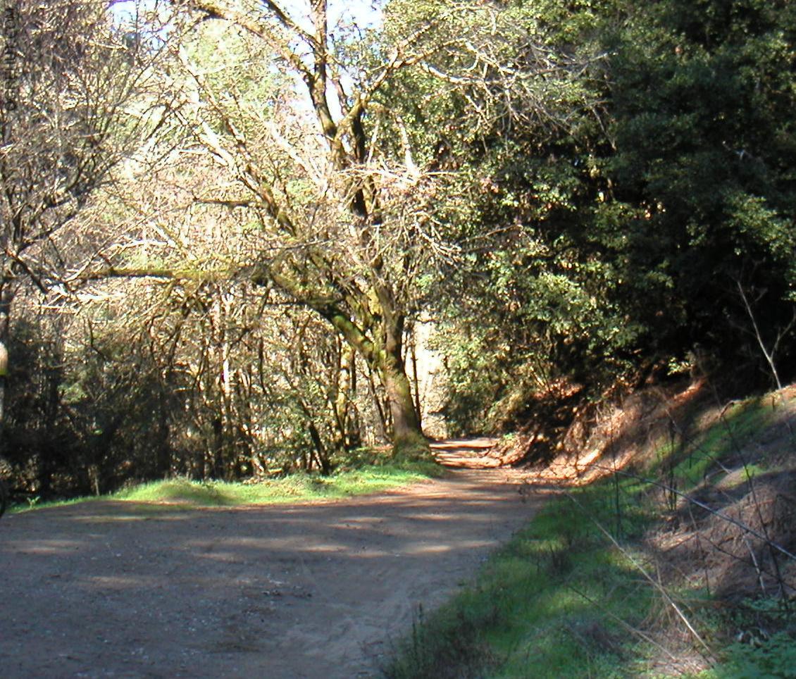
Most of the Nicene Marks trail is a gentle upward grade on the way out which
makes the return trip feel like you're cheating. The trail was originaly
an old railroad line which was used to haul valuable redwood out of the
forest. The last 1/2 mile or so before the incline you can still see the
ocasional railroad tie peeking out through the trail.
Nicene Marks also contains the remnants of the town of Loma Preta. The
town was abandoned a long time ago and the last standing building destroyed
about 30 years ago by fire. It is now known primarily because it was near
the epicenter of the
Loma Prieta Earthquake.
After the short trail which goes back to the Loma Prieta epicenter the trail
turns back upon itself and starts a relatively steep incline which climbs
at a steady grade for about 2 miles.
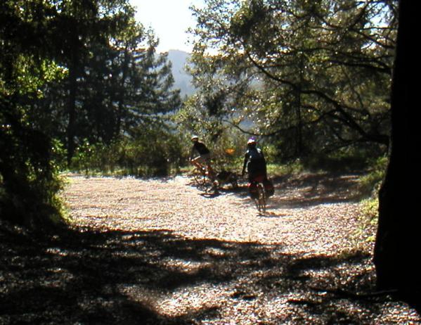
While I was at the top of the incline a ran into three daytripers
who had ridden their bikes from San Jose. They were planning on
spending the night at the beach and riding back to San Jose the next day.
They were on hardails with semislick tires. Two of them were using the
cool Bob Yak trailers.

The view from the top of the Incline, about 7 miles into the ride.
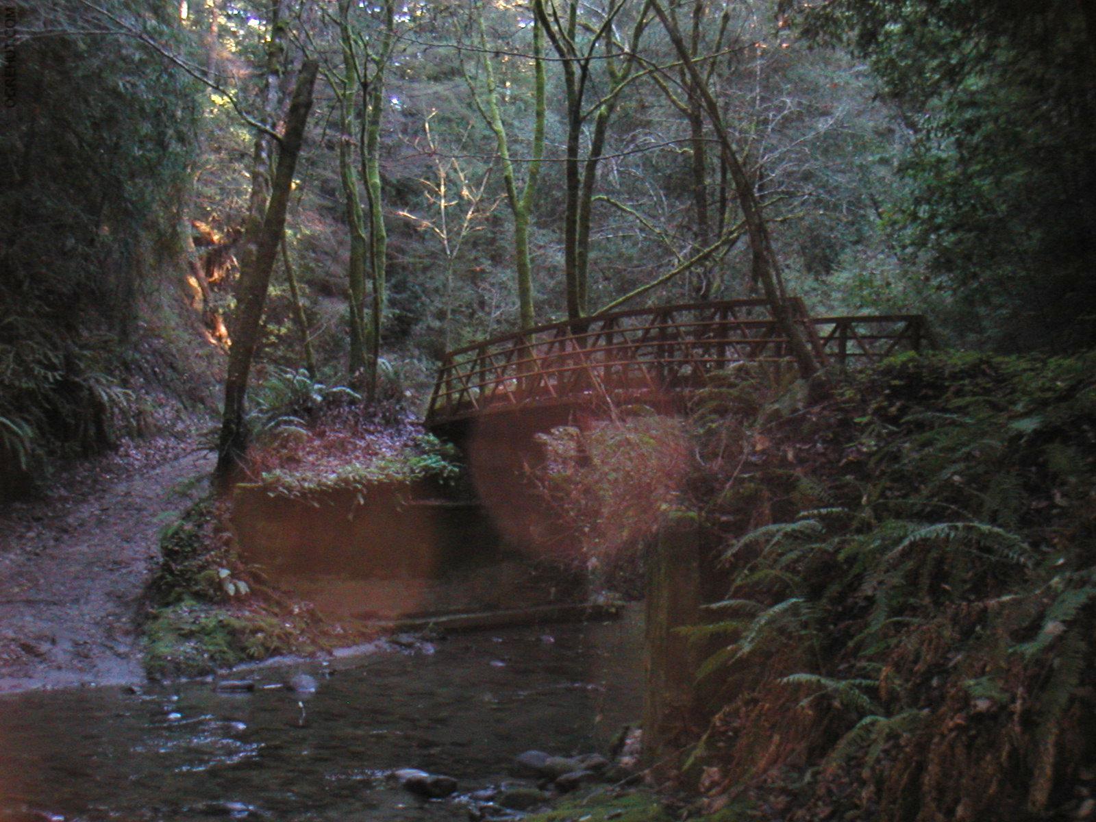
I turned back at the top of the incline and headed back. While on my
way out I stopped at one of the many bridges to take my mandatory bridge
photo.
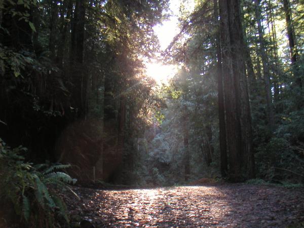
Although this trail is lacking in the technical riding department
there is no shortage of sureal beauty.