Navigate:
Top -->South Bay Area
-->Henry Coe
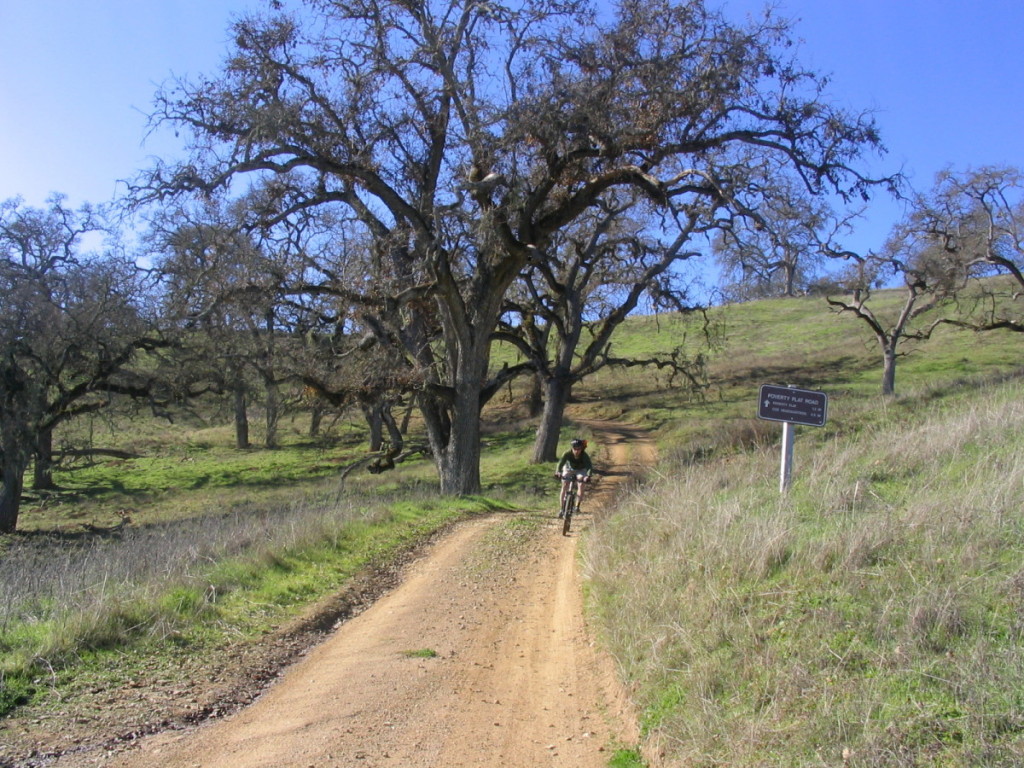
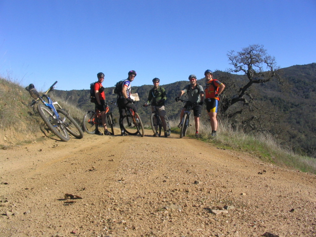
From the Henry Coe HQ our routes usually start out by going out the Flat Frog Trail to Frog Lake, then climbing Hobbs Road to the Middle Ridge Singletrack. Wheee... downhill to Poverty Flat. At this point we usually wind up arguing over where to go. The short route out of the park is up China Hole Trail or Poverty Flat Road to Manzanita Point Road and back to HQ. We usually head left on Poverty Flat road to Mahoney Meadows Road then take China Hole Trail back from there which adds a few miles to the route.
The big thing about Coe Park is that the miles are deceptive. 10 Miles in Coe park will be a challenge for most intermediate riders. Almost all of the climbs are steep and there aren't a lot of flat trails in the park. It's easy to ride 20 miles and climb more than 5000' in a day.
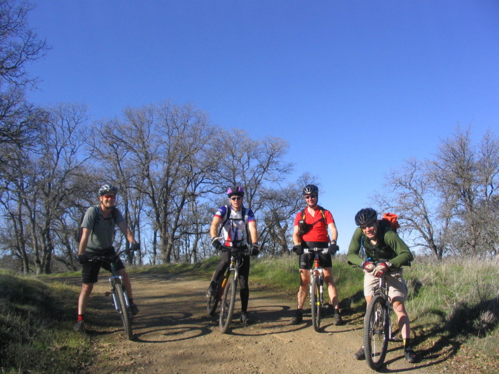
Henry Coe - Hunting Hollow Ent -
Beautiful suroundings, very few people, plus miles and miles of great singletrack. I can't wait to go back.
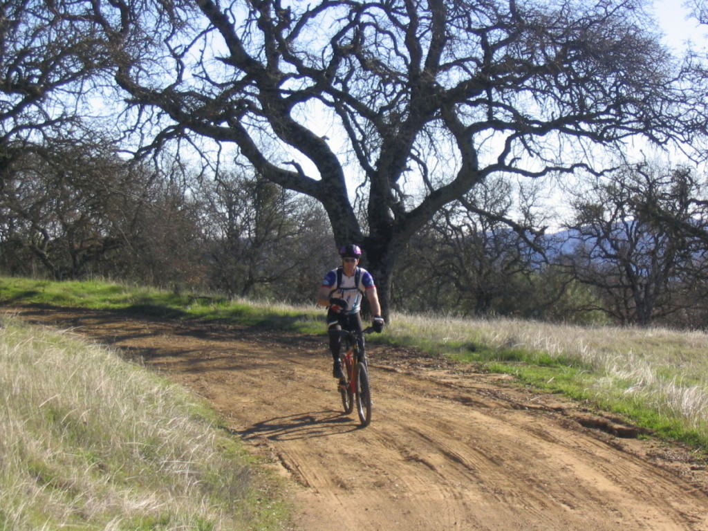
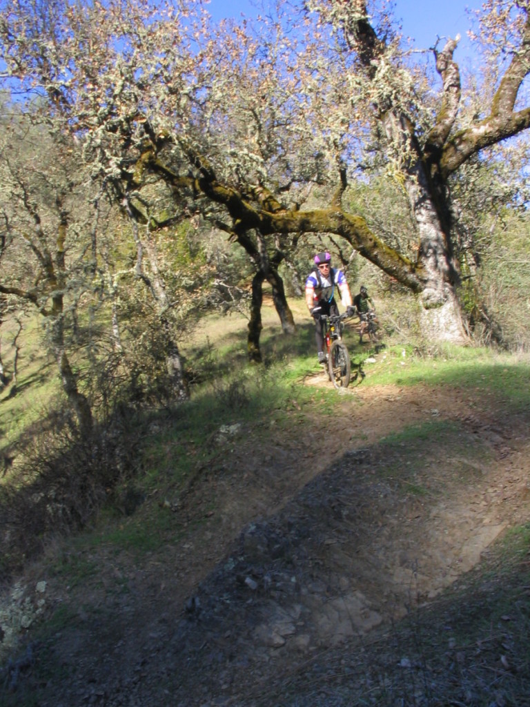
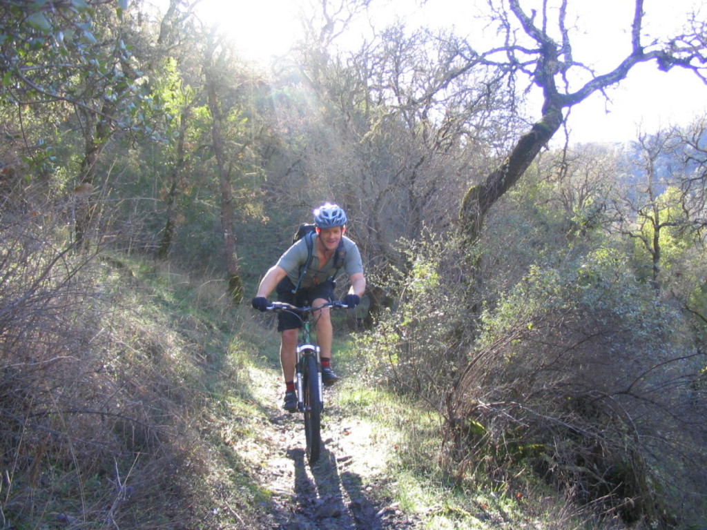
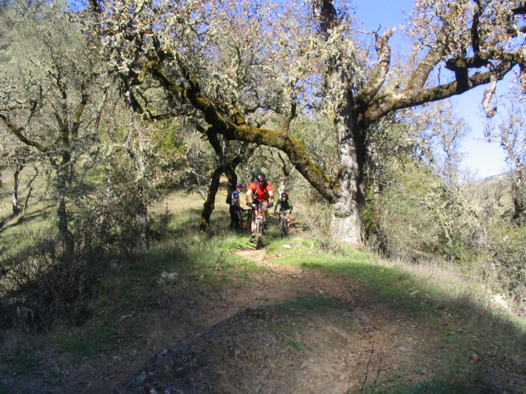
Mark on Flat Frog Trail.
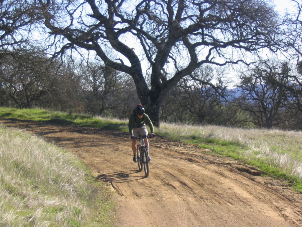
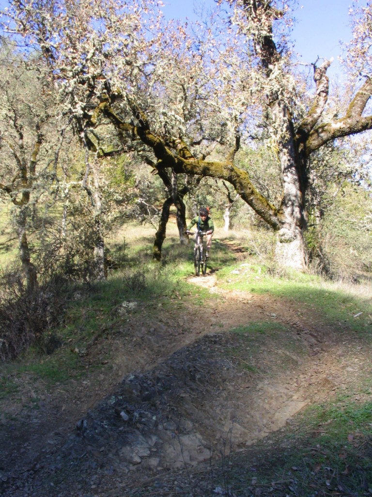
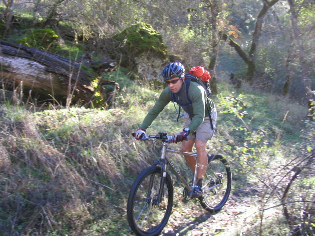
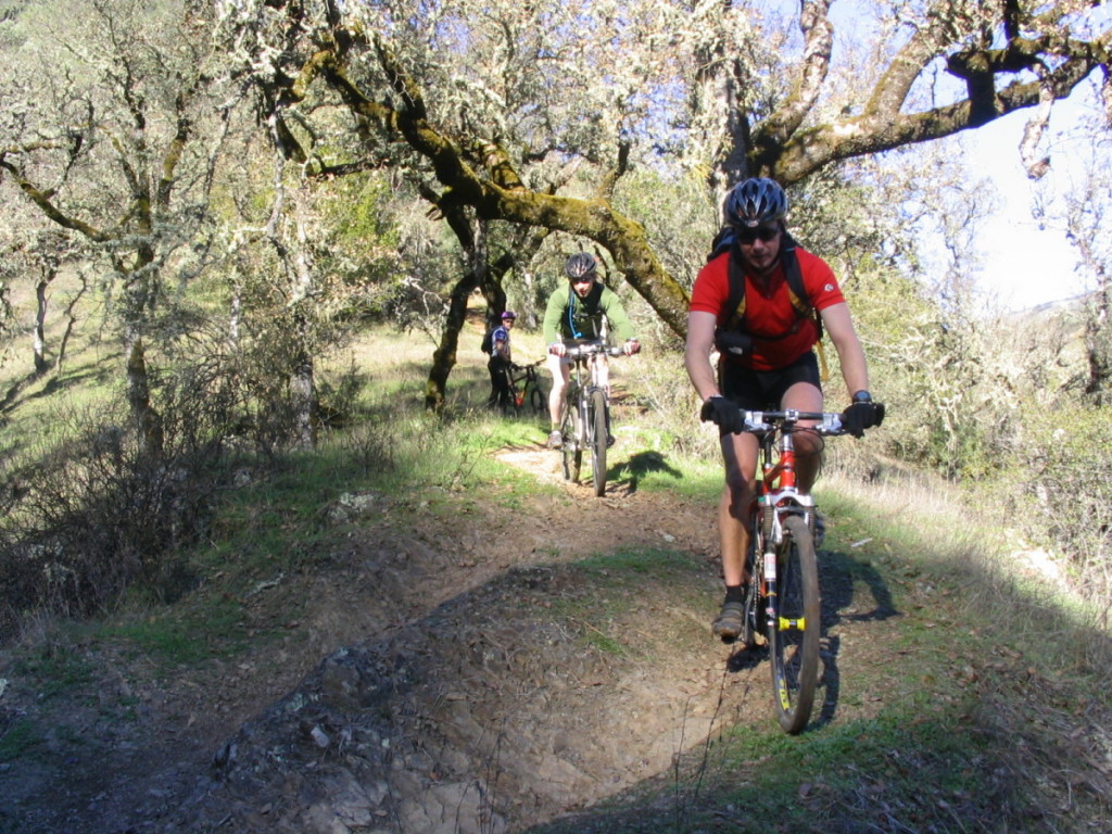
Moving a little faster on Flat Frog Trail.
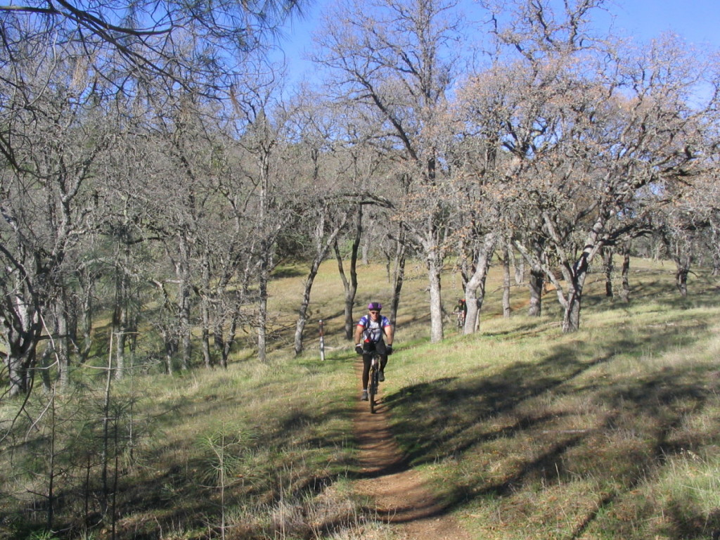
On the Middle Ridge Downhill.
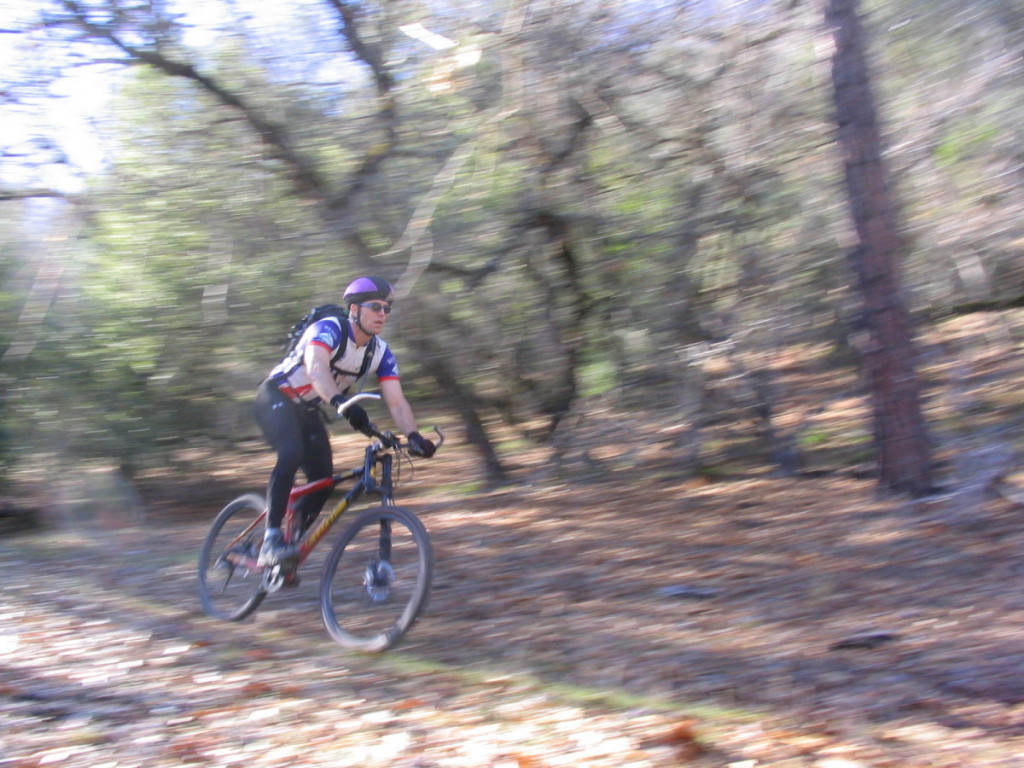
Near the bottom of the Middle Ridge Downhill there's a tricky technical section.
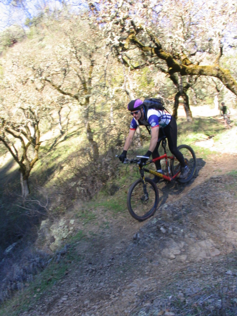
Mark showing us the correct line.

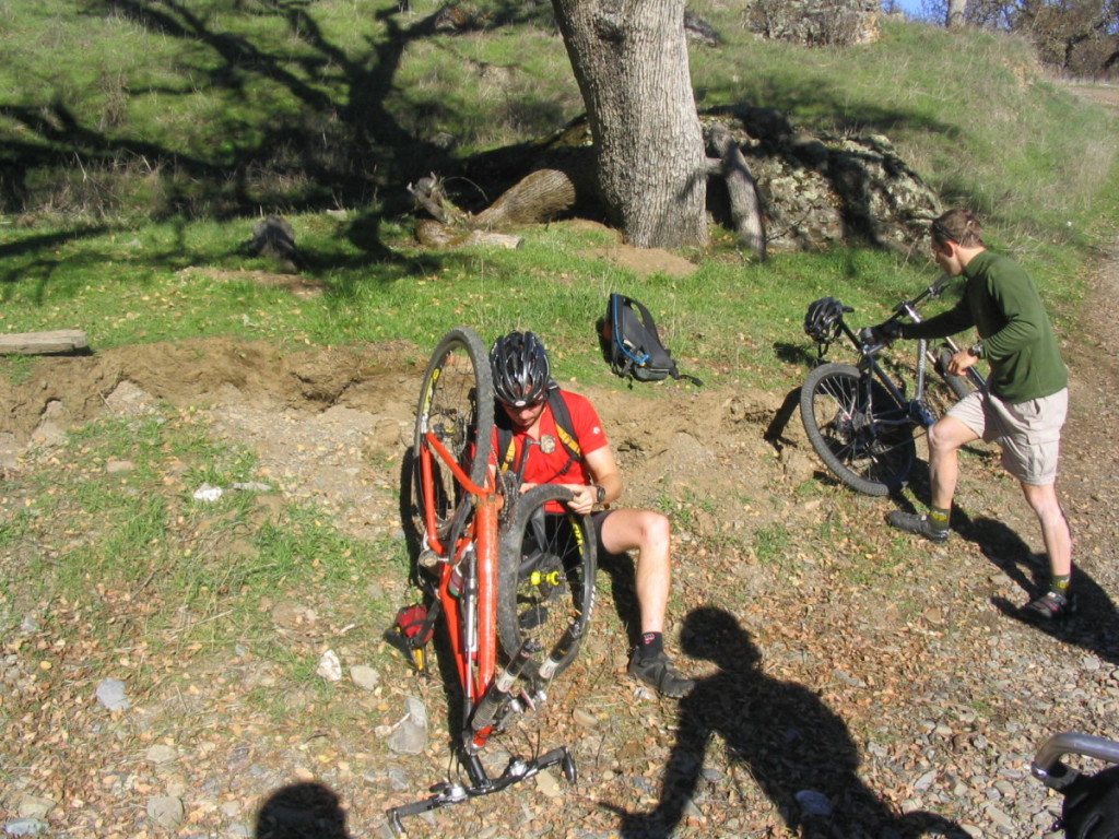
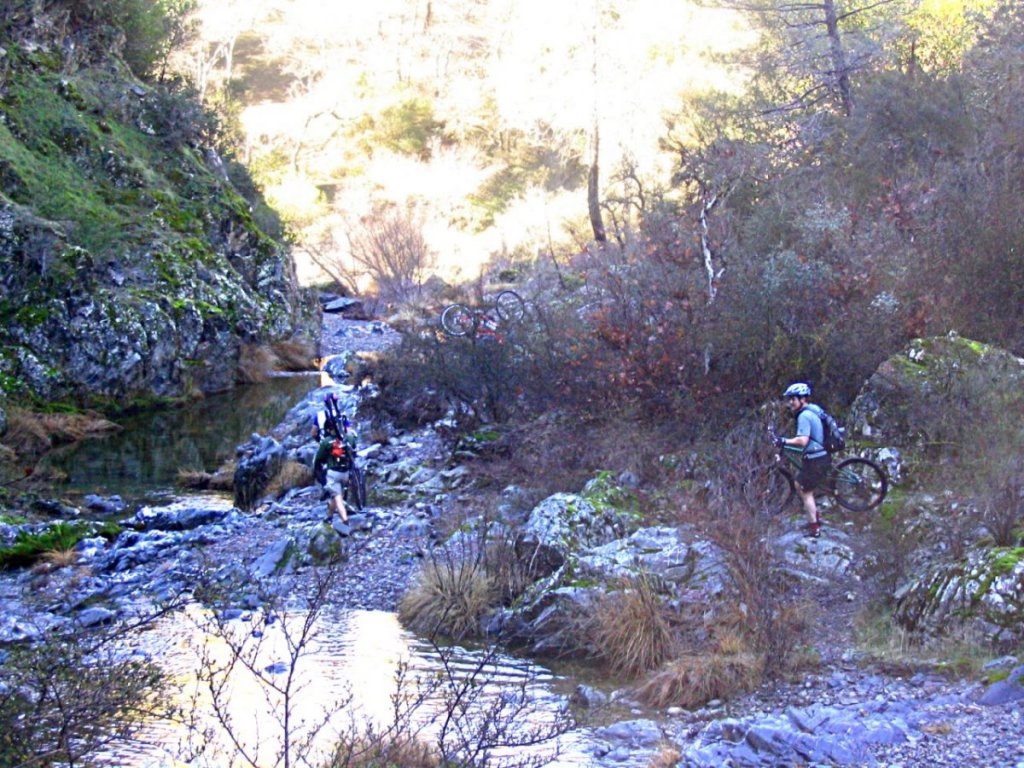
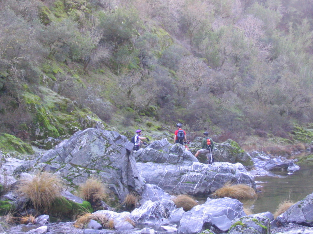
?? Getting wet in the creek crossing.
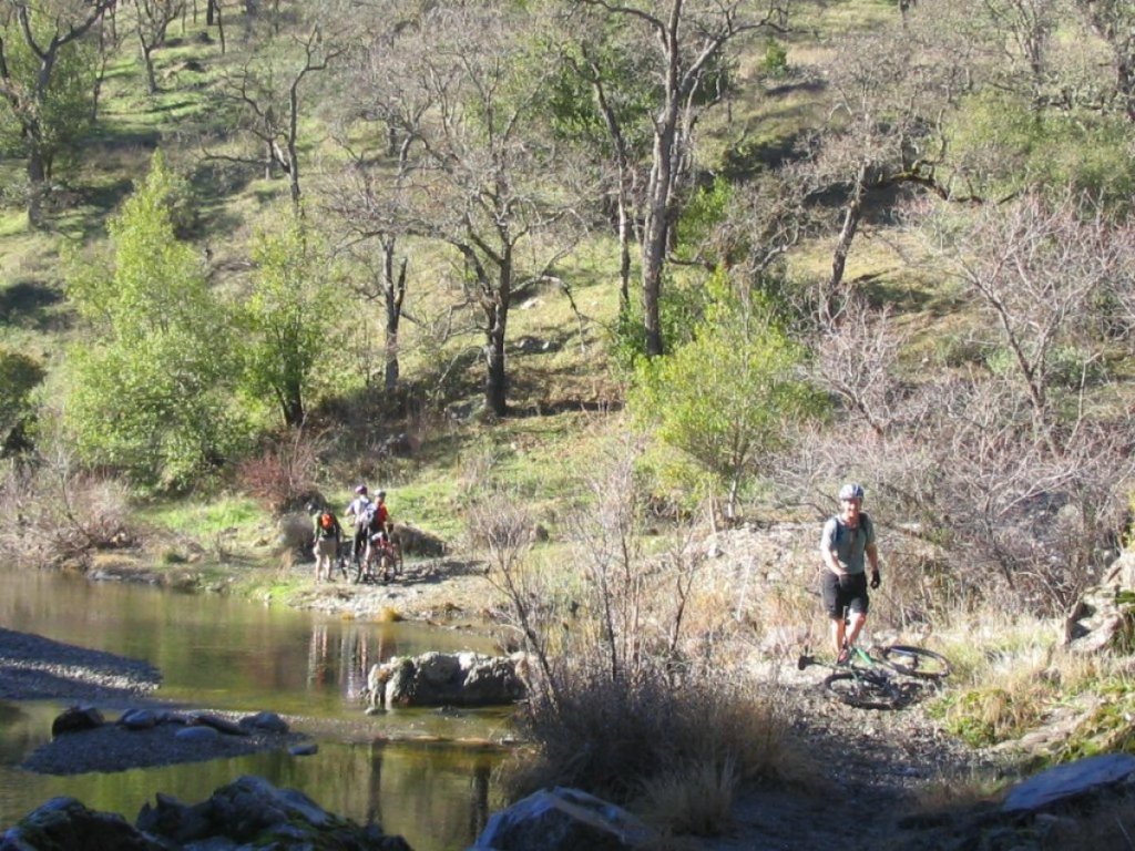
We wound up a little lost, we thought there was a trail along this creekbed but it was super spotty and totally unrideable for a huge section.

Now that was cold.