Navigate:
Top -->South Bay Area
-->Saratoga Gap Trail
Overview :
- Type of trail : Big Loop
- Distance as rode : 14.1 miles
- Total Miles (Available) : 30+ miles
- Climbing Distance : 2700 feet
- Trip Duration : 3 1/2 Hour Ride time
- Difficulty : 5 (Scale of 1-10)
- Trail Type : 70% Singletrack, 30% Fireroad
- Cardio : Strenuous
Highlights :
Note: This ride report is pretty dated, I think I did this ride back in 2002 and my skills have improved considerably. Unfortunately quite a bit of the original was lost when my site was trashed.
A good ride with lots of fun singletrack in lush forests and high meadows. If ridden following the ride guide I used it is extremely strenuous towards the end as you climb out of the Grizzly flat area and back up to the main trail. If you come from the Central Valley you will especially enjoy the cool lush forests and streams.
Probably the best thing about this trail is the variety of terrain and trail challenges. One minute you are racing down fireroads at warp speed and the next you are picking your way between rocks on a bit of technical singletrack. The only thing it is really missing is a significant amount of technical descending.
Bummer :
Following the ride guide from Roger McGehee's book and the loop suggested by the park takes you down into Grizzly flats via fireroads. I just feel that 1700 feet of descending on fireroad is not worth 1700 feet of climbing out. When I do a lot of climbing I like to have a nice fun descent either before or after it so as I suffer uphill I can ponder the reward. There is also an alternate shorter way to ride these trails without the huge climb.
Location
At the intersection of Hiway 35 (Skyline Boulevard) and Hiway 9 about 60 minutes South of San Francisco. From the Central Valley you will take the Hiway 92 across the San Mateo Bridge to Hiway 280 South. You can either stay on 280 till you hit Hiway 9 and take 9 West or you can exit on Hiway 84 West and cross over to Hiway 35 and take 35 South. In either case there is a large parking area at the intersection of the Hiways. The trailhead is across Hiway 9 from the parking area.
Links
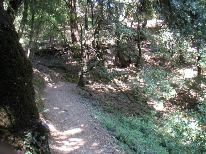
Right from the start this trail starts off with some fun singletrack cut
into the hillsides. The first few miles of the trail sort of wind in and
out of the trees and gradually go up and down the hillsides. One thing you
notice right away also is that this is a well maintained and heavy use trail.
If you are looking for a quite trail to get some solitude, get to the
trailhead early on a weekday.
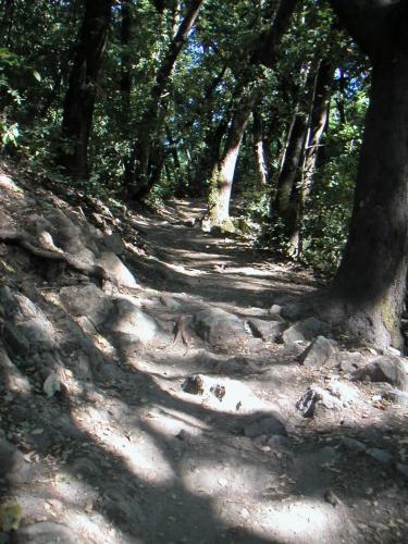
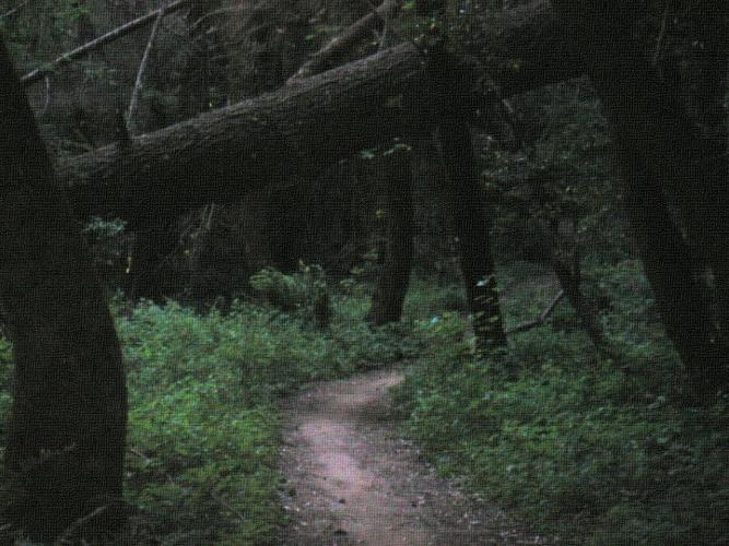
Short sections like this add spice to this trail.
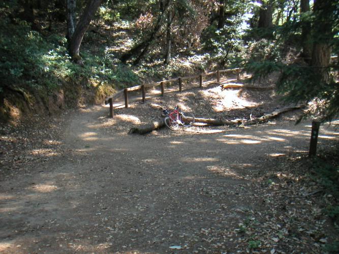
No, I'm not the one who left those long skidmarks in the foreground of this image, someone apparently wanted to sample the potency of the local Poison Oak.
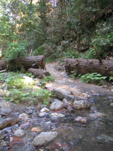
What a sweet creek crossing. The huge redwood that is saw in two to make a path makes a really cool transition. This is also the area where they say tons of ladybugs hang out certain times of year. I didn't see any today.
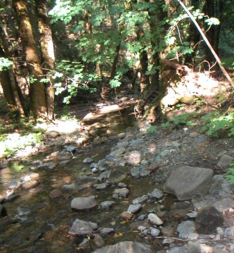
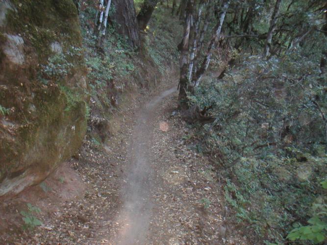
You will find this attractive creekbed right at the beginning of the
climb out of the ravine.
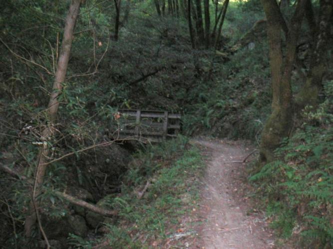
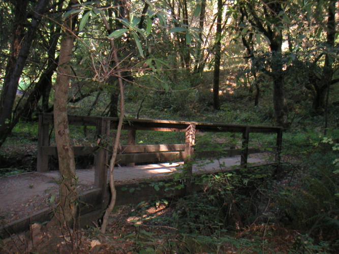
What a cool bridge. It's a pretty short bridge, only spanning about 5 feet, and it doesn't span a huge drop, perhaps a four foot drop, but somehow it has a lot of character and seems like it SHOULD be spanning a 200 foot drop. If you hadn't noticed yet I like bridges of all sorts, and generally if there is a bridge on a trail I will get at least one photo of it on the site. It's also mandatory to photo all creek crossings :)
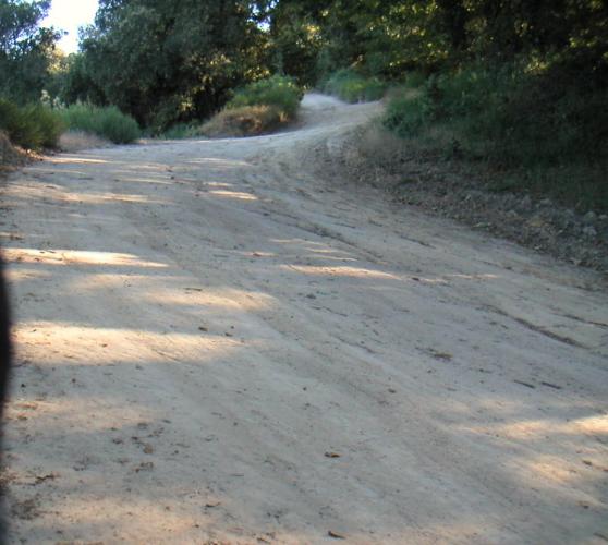
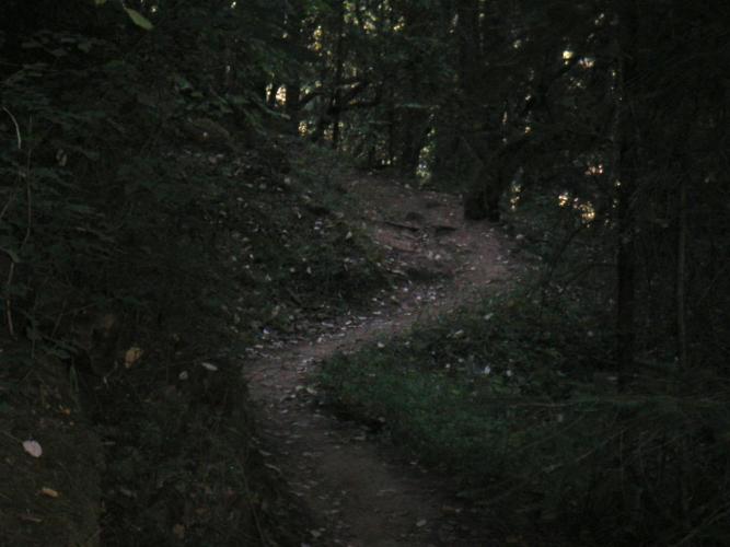
The last couple of miles of this ride look like this, straight up. I won't bore you with lots of pictures of the grueling ascent. Personally I wound up stopping for air about 3 times during the fireroad portion of the climb. While I was climbing this part about 6 riders passed me going the oposite direction. Riding this section backwards seems to be a popular choice.