Navigate:
Top -->South Bay Area
-->Whittmore Gulch
Overview
- Type of trail : Out and Back
- Distance as rode : 7 miles
- Total Miles (Available) : 15+ miles
- Climbing Distance : ~1700'
- Trip Duration : 1 1/2 Hours
- Max Speed : ~25 MPH
- Difficulty : 4 (Scale of 1-10)
- Trail Type : 20% Fireroad+, 80% Wide Singletrack
- Cardio : Moderate - Strenuous
Summary
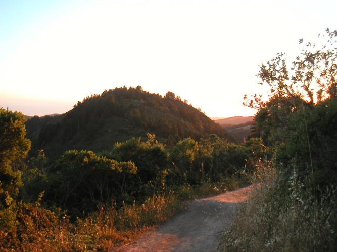
Whittmore Gulch trail is accessible from the Purisma Creek trailhead along hiway 35 (Skyline Blvd). The Whittmore Gulch portion of the trail contains some well maintained singletrack that winds down into the valley below via a series of switchbacks. The trail itself contains few difficult challenges other than some tight switchbacks and a lengthy climb back out. The trail is beautiful and the descent is extremely fun.
Location:
From the Central Valley you will take the Hiway 92 across the San Mateo Bridge to Hiway 35 - Skyline Bulevard South. Turn into the Purisma Creek trailhead which is on the right hand side about 4 1/2 miles down on the right hand side (Look for the country store immediately before the trailhead).
Links:
Roger McGee's Ride Guide
ROMP Responsible Organized Mountain Pedalers are an off-road cycling advocacy group in the Bay Area (They're the reason we have trails like these).
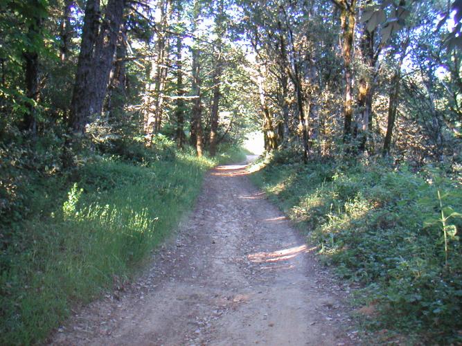
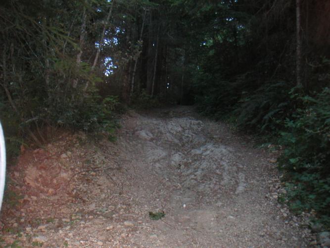
The trail starts out with a fireroad downhill. The top section is fairly tame, but the trail quickly gets steeper and there are quite a few exposed rocks and ruts to make life interesting. It's easy to build up too much speed and get out of control here. It also makes for some of the toughest climbing on the way out.
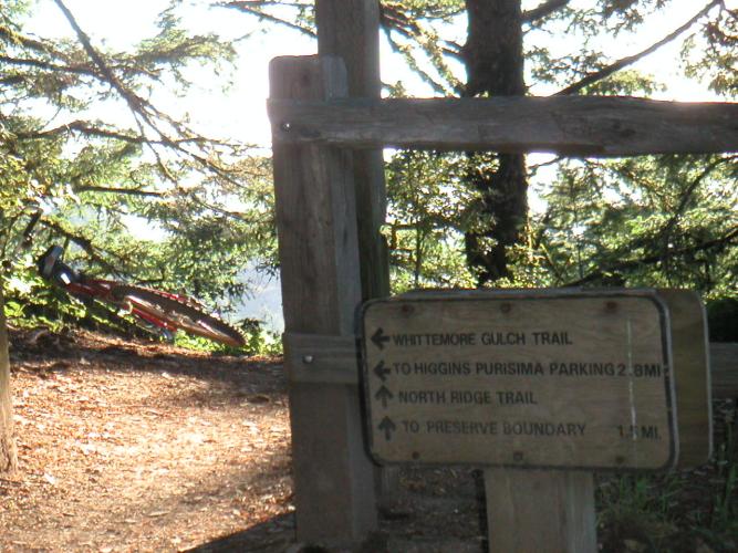
Be on the lookout for the Whitmore Gulch sign which is on the left hand side of the trail. Otherwise you will wind up missing the singletrack all together. The Whitmore Gulch trail starts about 3/4 mile from the parking lot.
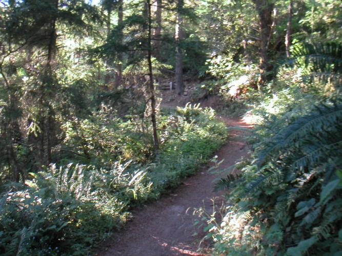
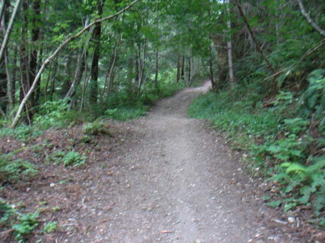
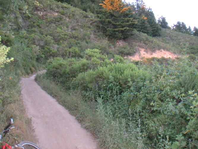
The descent down is a long series of switchbacks, most of them are fairly easy to navigate but a few a tricky. Watch your speed as you go down the hill, there are several blind corners where you can get tangled up with hikers or other cyclists.
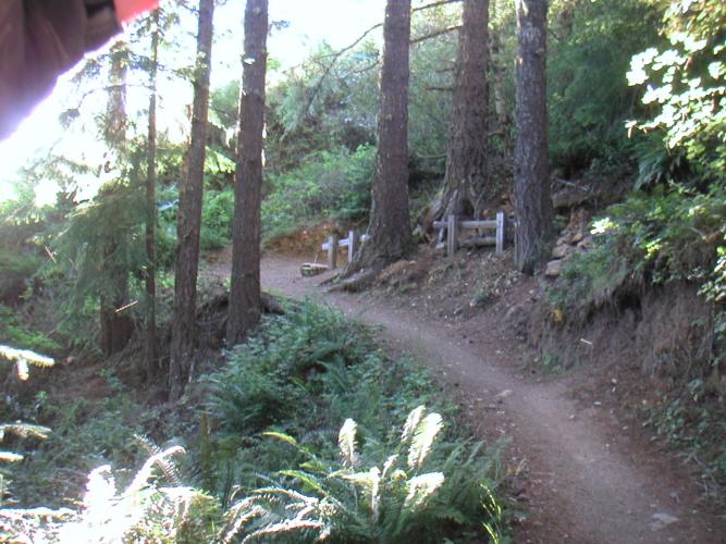
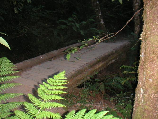
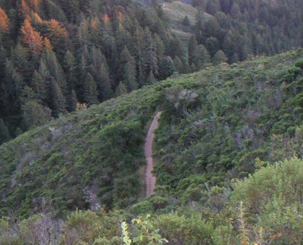
This is one of the trickier switchbacks and incorporates some fencing to prevent hikers from taking shortcuts. This is a great trail to really enjoy nature. Don't expect any big hits or rocky technical sections.