Navigate:
Top -->Lake Tahoe Area
-->Silver Lake - Horse Canyon
Overview
- Date Reviewed : Summer 2005
- Route : Loop
- Distance as rode : ~22 Miles
- Climbing Distance : ~3000'+
- Difficulty : 8 (of 10)
- Trail Type : 70% Singletrack / 5% Pavement / 25% Dirt / Jeep Roads
- Cardio : Strenuous + Altitude
Summary
Note from 2017: This trail is a blast as it's listed below, but it's brutally tough and has some long miles on OHV trails which can get quite dusty. There are some great half-shuttled routes you can access from the Kirkwood side to hit Thunder Mountain and the bottom of Horse Canyon which is where the best bits of this trail are.
This is a deceptively difficult ride. Looking at the stats posted above it doesn't look too intimidating but between the altitude and the fact that much of the trail is technical riding this is a real but kicker. The payoff is huge though, there are incredible views, tons of technical riding, slickrock to play on, and an awesome downhill to finish the day off.
The route we took we parked at the Oyster Creek Day use area and rode west on Highway 88 to the road that goes along Silver Lake. We turned up the road and followed it back for some distance to a singletrack on the left hand side of the road (the sign says "Granite Lakes"). The singletrack climbs and there are a few choices but in general you stick to the main trail. There is only one signed intersection and at that intersection you go left (uphill) to Allen Ranch. The climb at this point gets even steeper until you get to a final grunt up onto the ridge. Once on the ridge go left and down the 4WD trail and follow it up to Squaw Ridge Trail. Head east (left) on Squaw Ridge trail (4WD Road). There are a couple short turnoffs which are dead ends so just keep heading east on Squaw Ridge for about 4-6 miles. There are plenty of steep climbs including some hike-a-bike sections and some technical parts to keep it interesting. Eventually the Wide 4WD trail turns into singletrack/ motorcycle trail. This is Horse Canyon trail, a gnarly technical downhill ride. It is a motorcycle trail so it's a bit wide to be considered singletrack in some places but it's an incredible section of trail. Enjoy. Eventually you get dumped out on the highway. Turn left and ride back up the highway to Oyster Creek Day use and your car.
A shuttle route is also possible by parking one car at Oyster Creek then driving west on 88 Tragedy Spings and starting at the 4WD trail (see the map). This alternate route still includes plenty of climbing but skips a big section and almost all of the technical singletrack climbing.
A alternate way to shuttle this is by leave a car at Oyster Canyon and going east on 88 to the Thunder Mountain trailhead and taking Thunder Mountain trail over to Horse Canyon. Then back down to the cars. I have never taken the Thunder Mountain Route so I can't say how challenging it is.
Location
Silver Lake is about 2 hours west of Stockton or Sacramento along Highway 88. Map to Trailhead
links
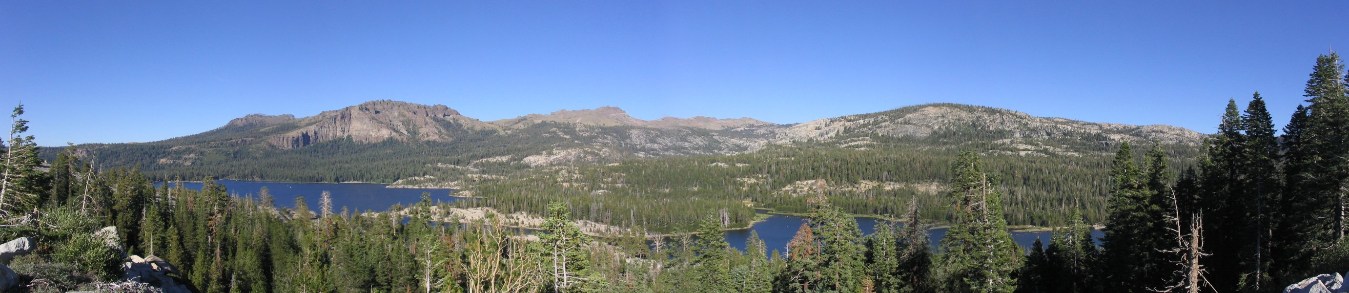
The view of Silver Lake from Highway 88 as we arrived. Our route took us from beyond the far left of the image, along the far shore. We kept climbing up and around the peak on the right up to the ridge in the background. Then we took the ridge (Squaw Ridge) back across to the left of the image and came down in front of the big ridge on the left back down to where we parked.
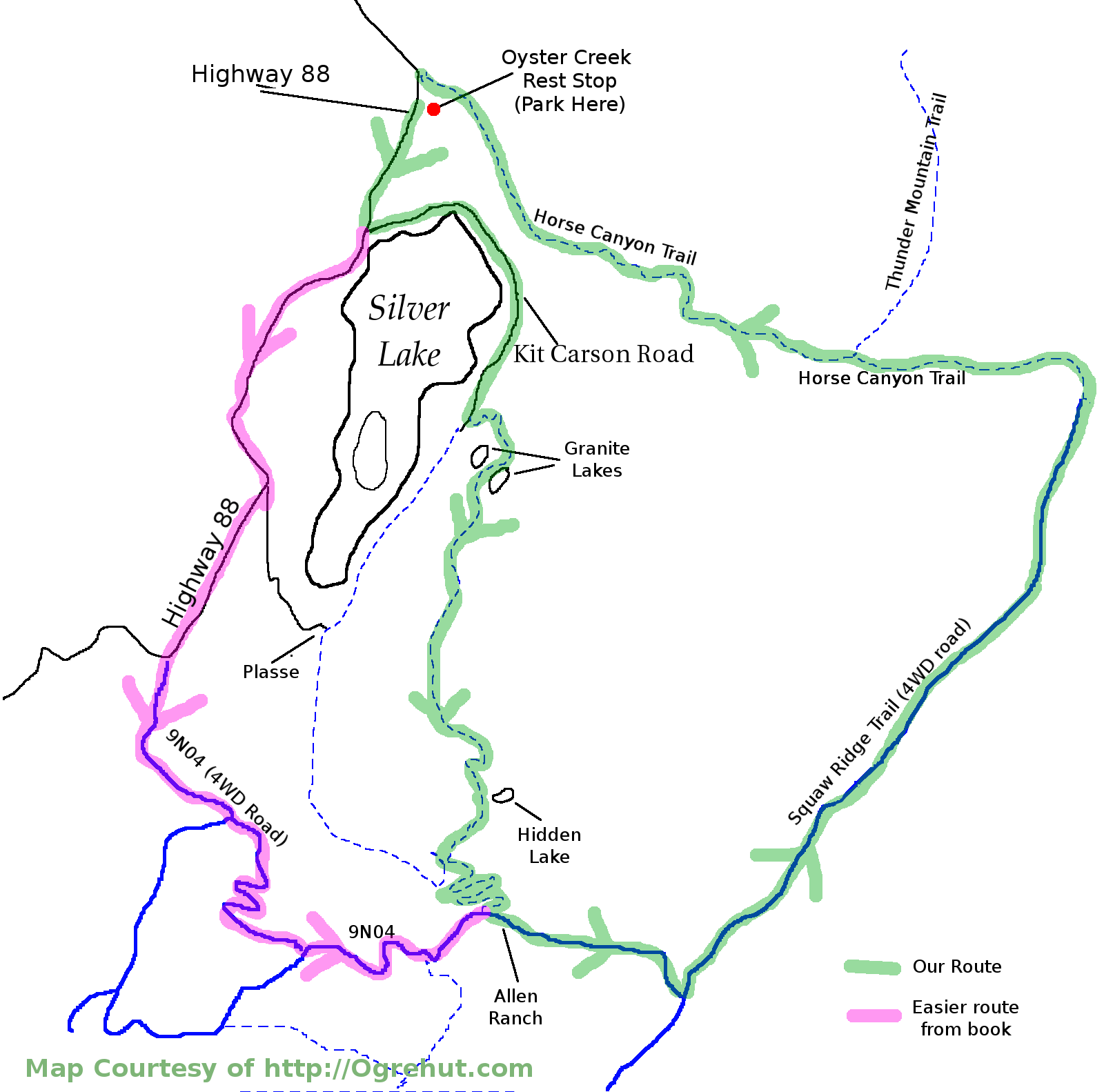
Make sure when you print this that you use the full sized version for best quality. Dashed lines are singletrack solid fireroad/ 4WD trails. We took the Green Route which has by far the most singletrack. There is a slightly easier route you can take by following the pink route. Alternately Shuttle by leaving a car at Oyster Creek and parking at Tragedy Springs to access the 4WD road. There is still a significant amount of climbing... there is no easy way to ride this trail.
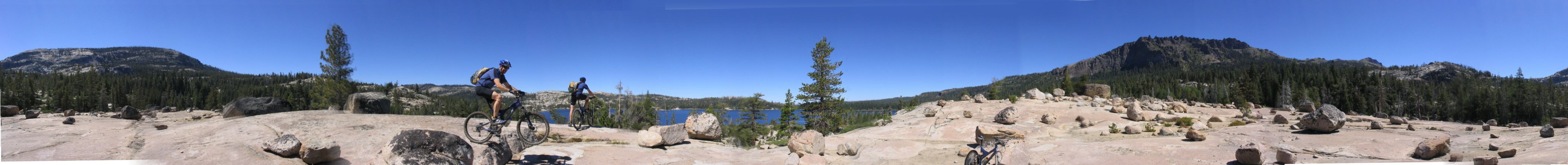
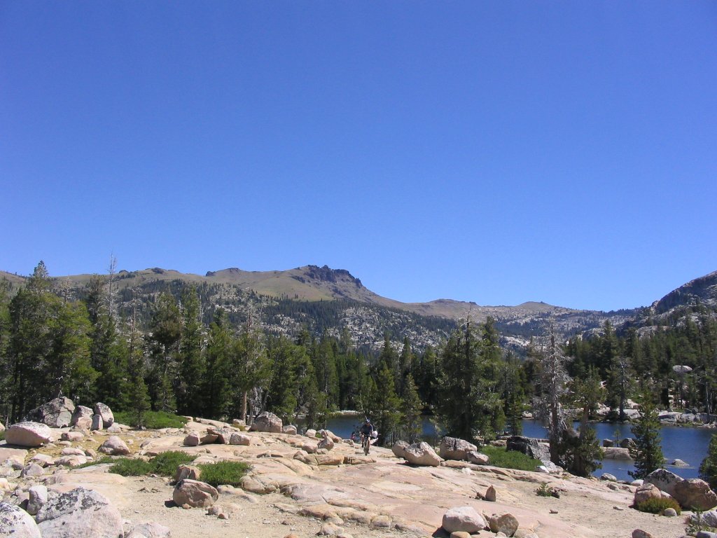
About 1 mile into the ride, playing around on the granite with the two Garys. Horse Canyon trail is a long ways off from here. The Horse Canyon is somewhere at the base of the mountain on the far right of the image.
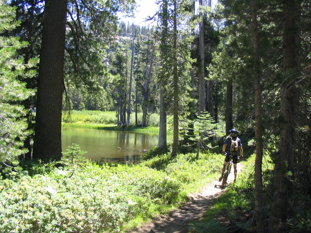
The first of the Granite Lakes.
Where's Waldo? Gary climbing up the granite near Granite Lake. There were a few swimmers so the water must have been pretty decent (Brrr). Right around here the climb starts to get pretty sandy.
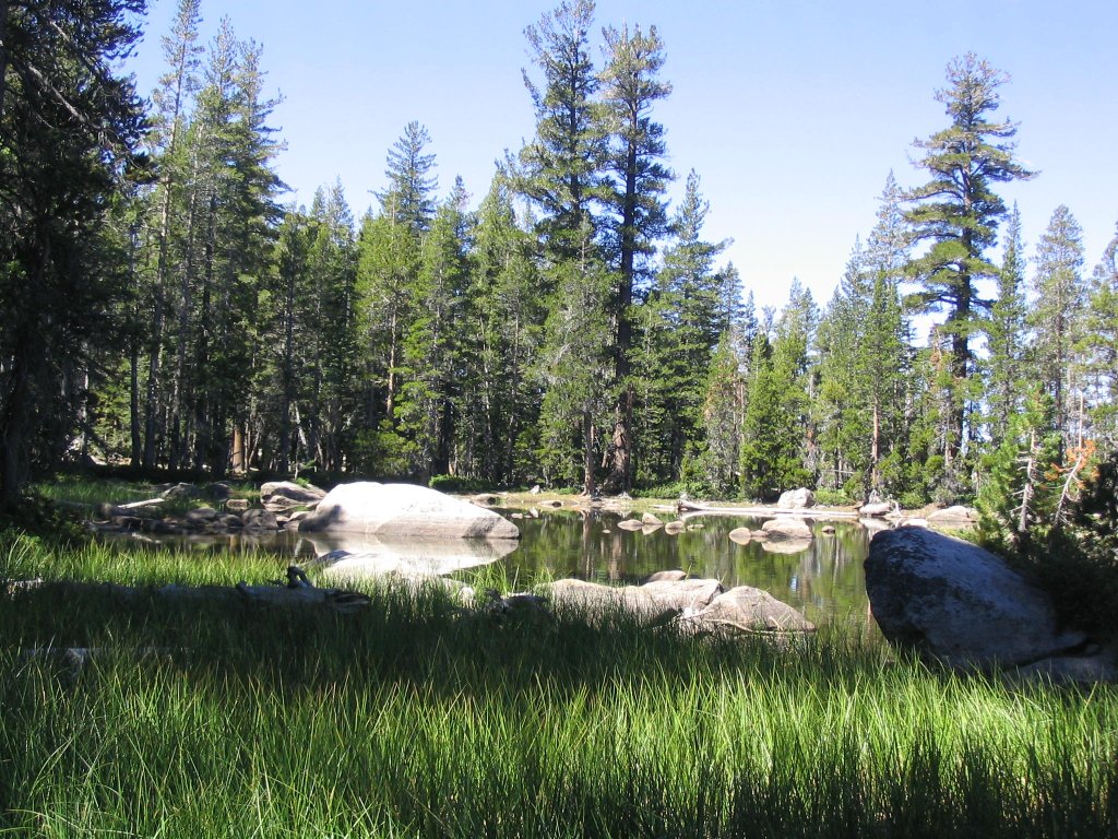
Hidden Lake. The climb has been pretty moderate so far but soon it turns ugly. The last mile up to Allen Ranch and then the jeep road climb up to the ridge are steep.
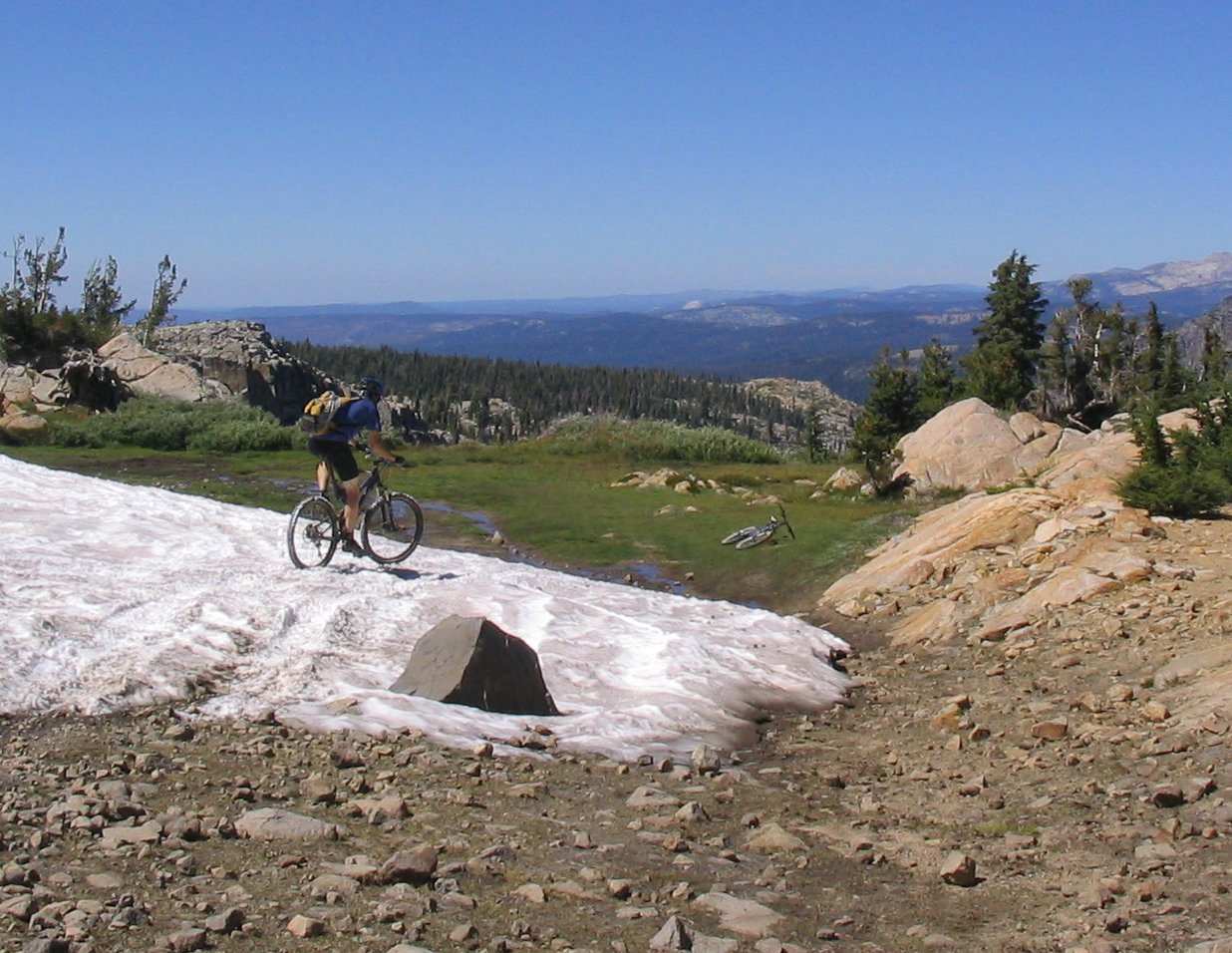
After the climb to the Squaw Ridge the trail mellows out a bit for a while. We missed a turn and wound up at this small meadow with Snow (in late August!). There was some much cleaner snow and I considered filling my camel pack but I had plenty of water. The view from here is great you can see Silver Lake, Highway 88, Horse Canyon trail... pretty much our whole ride.
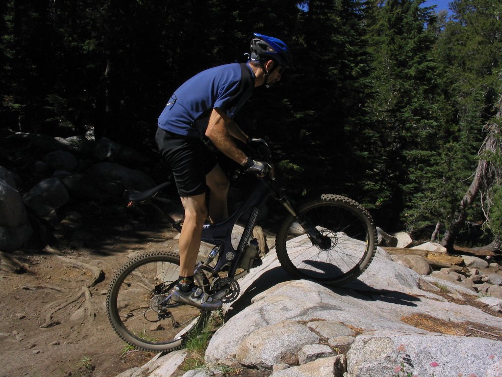
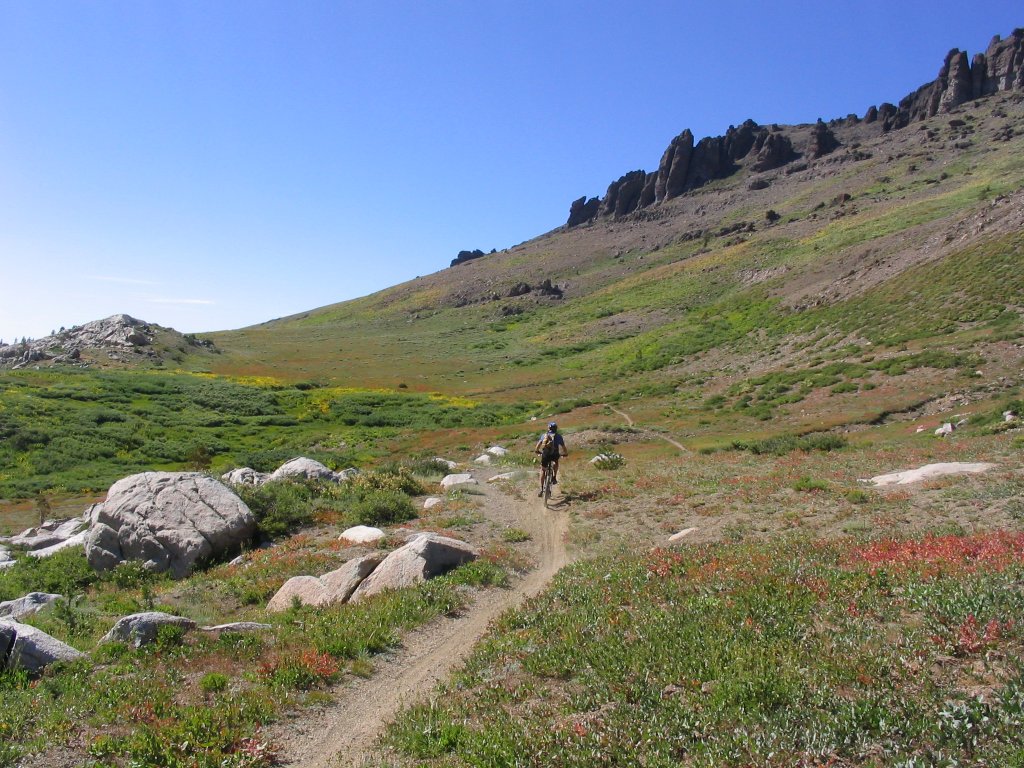
There are quite a few nasty jeep road climbs along here so we took the oportunities to play seriously. The trail was a mess on the far side of this so this turned out to be the most rideable line.
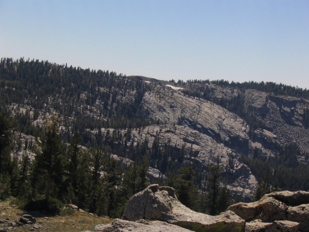
From Horse Canyon Trail looking back you can see the snow patch we played on not too long ago.
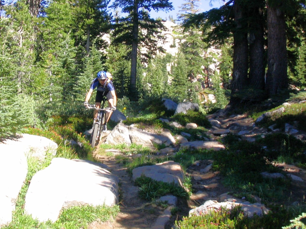
One small section out of a couple miles of nearly non-stop technical trail goodness along Horse Canyon trail.
There were also a couple sections where you hit some meadows as just flew down the trail.
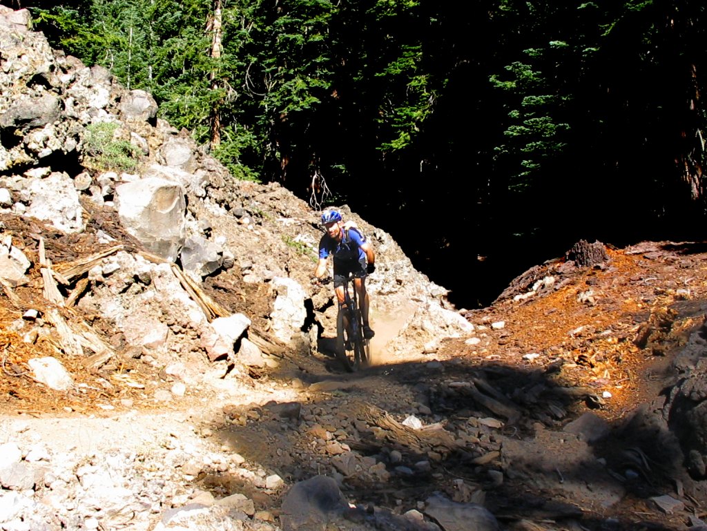
A bit further down Horse Canyon Trail right before it turns into buffed, bermed downhill goodness.
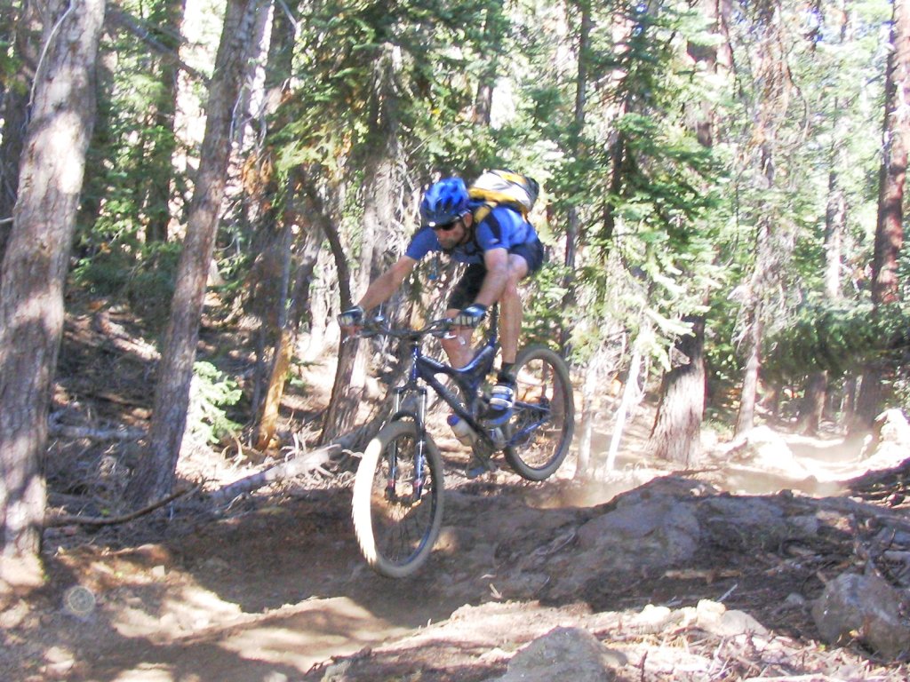
Gary catching a little air on one of the faster sections of Horse Canyon Trail. Before too much longer the ride was over. We were exhausted so it was a bit of a mixed feeling when we got there. On one hand sad that it was over but on the other hand happy to be closer to food.