Navigate:
Top -->Folsom Lake/ Auburn Area
-->Auburn Everything Ride
Overview
- Type of trail : Multiple Loops
- Distance : 30+ Miles
- Climbing Distance : ~4000'+
- Ride Time : 5-6 Hourse
- Driving Distance : 40 minutes East of Sacramento
- Difficulty : 6 (Scale of 1-10)
- Trail Type : 10% Fireroad+, 10% Paved, 80% Singletrack
- Cardio : Stenuous - Epic (4000'+ of climbing)
Summary
This ride in the Auburn Ravine includes all of the major trails on both sides of the ravine plus the connector trail and the Foresthill Divide Loop. This ride is for people who are in excellent physical condition. The ride can either start at the trailhead on Russell Road or down in the Confluence Area on Old Foresthill road. The only difference between the rides is whether you start with the Stagecoach Climb or end with it. I prefer ending the ride with a downhill so usually start in the Confluence Area.
Note: I don't recommend riding this route in the heat of the summer, while most of the Auburn Trails are decently shady this route includes the Fuelbreak Trail which has some steep sections of trail. It's brutal any time of year but during the summer there is no shade at all on the section which makes it doubly brutal. You have been warned. The _Triple Loop_ has just as much mileage but a touch less singletrack and a lot less suffering.
Location
Starting From the Top
Take I-80 East from Sacramento to Auburn, exit on Lincoln, and turn right. Turn left almost immediately onto Russell Road and it will wind downhill (careful it's a 1 lane road) for about a half mile. You will see a dirt parking area on the left, park there. If you want to take Manzanita then DON'T take the Stagecoach trail at this point. Get on your bike and go down Russell road. Russell Road Y's after a short distance, go left and the road will dead end into the trailhead. After getting onto the trail you want to take a left onto the singletrack trail.
Starting From the Bottom
Take I-80 East from Sacramento to Auburn and turn off on the Hiway 49 exit. Carefully follow the signs to Hiway 49 South. Follow Hiway 49 into the Ravine until 49 turns right across the American River. At this point continue straight for another ~1/2 mile and start looking for parking. This area is the confluence of the North and South Forks of the American River. The road will shortly cross the North Fork of the river. The trailhead is on the West bank of the North Fork American River. If you start at the bottom and want to ride Manzanita ride to the top trailhead and follow the instructions above to take Manzanita.
Links
Auburn Everything - Trogs
-
I did the everything loop with the Trogs and a few others from MTBR.
Monster MTBR Ride in Auburn -
An awesome ride I did with a huge MTBR group in Auburn.
If you start the ride in the Confluence Area you will start by going up the Stagecoach Road climb. If you are in the ravine looking at the Foresthill Bridge (The big Green one) it's on the left side of the river tucked behind the porto potty. Take the fireroad up, it's a touch steep in the beginning but mellows out after the switchback. The fireroad is about 2-3 miles long and ends at the Russell Road trailhead.
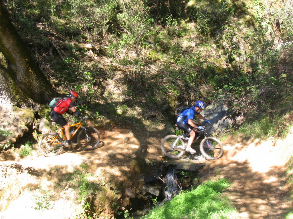
Photo: Creek Crossing on Manzanita Trail
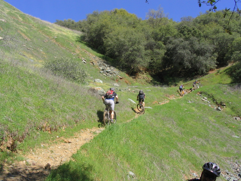
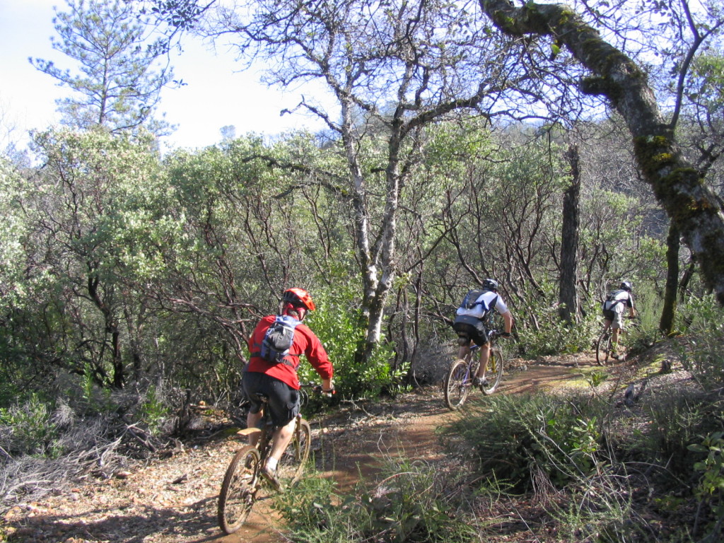
From the Russell Road trailhead you will head (left) down the pavement along Russell Road till the road forks. Take the left fork and follow it until you hit a green gate. Keep going and look for some singletrack on the left hand side. This is Manzanita trail, a fun little rocky/ rooted run though manzanita. There are some fun sections here, stay on the main trail all the way until you hit Stagecoach Road.
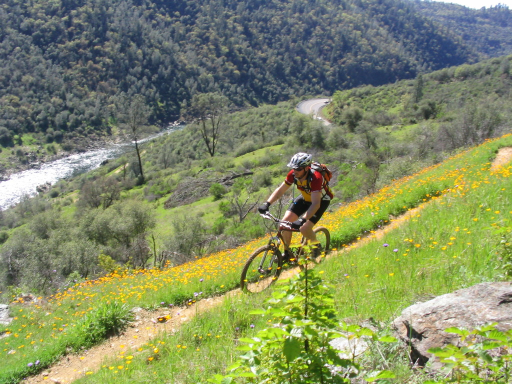
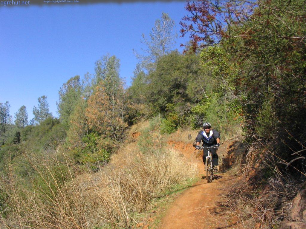
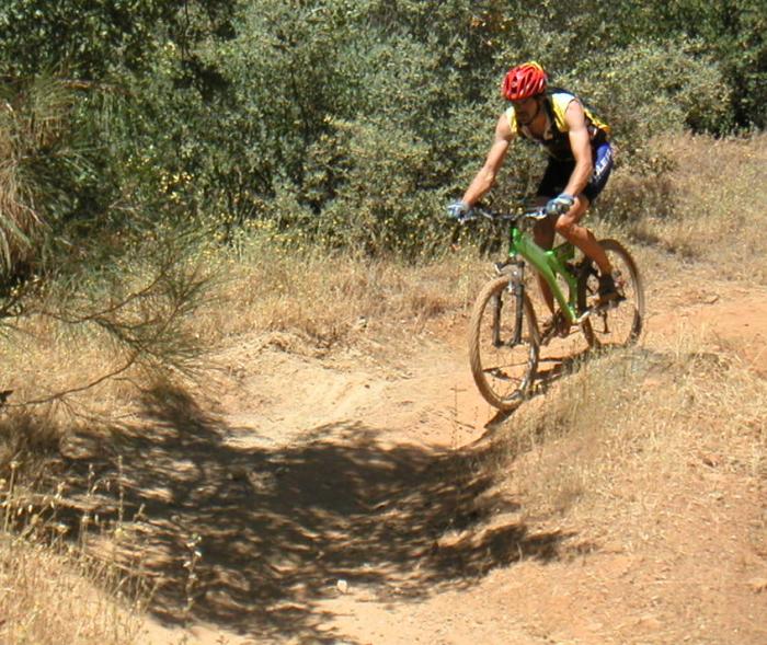
Photo: Dan'ger near the end of Manzanita in the Springtime
At Stagecoach road turn left (uphill) and you will climb for some time. Near the top of the climb you will see a trail on the right with a fairly conspicuous sign for "Upper Stagecoach Trail". Take Upper Stagecoach across the face of the mountain for about a mile until you see a trail going off to the right.
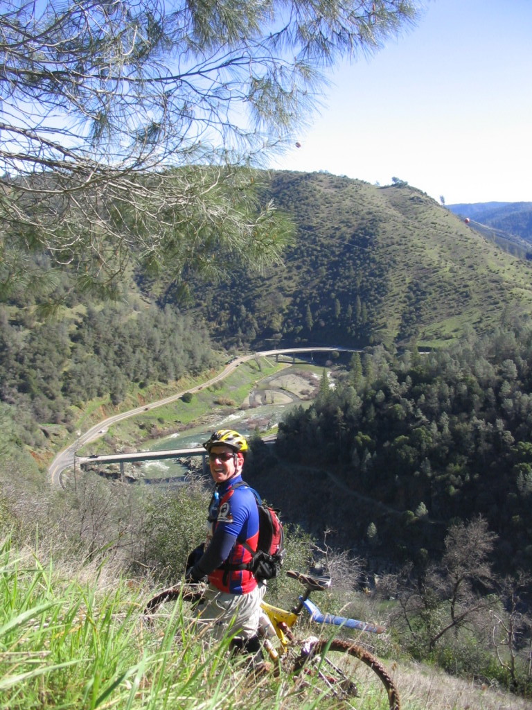
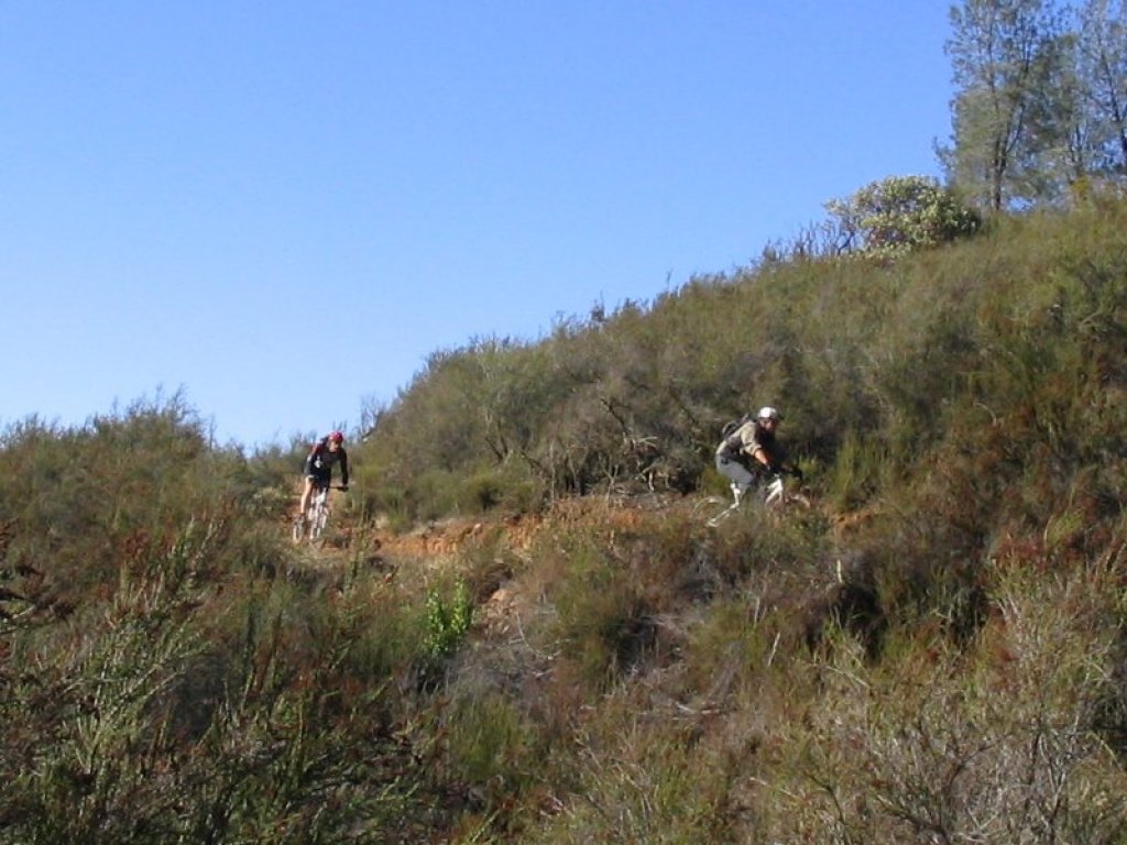
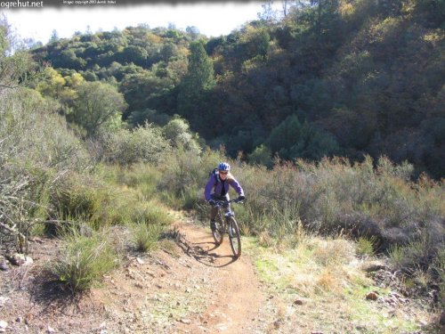
Photo: Fred-da-Trog near the end of Manzanita Trail overlooking the Confluence Area.
The trail to the right is Flood Trail, it's a rutted out chute that doubles as a creek in the winter time. Be careful and have fun but don't miss the turnoff on the lefthand side of the trail for Mossy Rock trail.
Mossy rock is a sort of hidden gem in Auburn. It's a skinny little singletrack that gets very little use. It's not super technical but it's a lot of fun and includes some bits that will challenge a lot of folks. Enjoy this trail because suffering is coming soon.
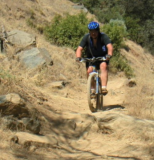
Photo: A group heading up the steeper-than-it-looks climb on Mossy Rock
Mossy Rock dumps you out into a small clearing with some cool views of the ravine and the Foresthill bridge. After enjoying the views take the fireroad immediately to the left of where Mossy rock put you out into the clearing. It's easy to recognize, it's the one that goes straight up the hill.
Photo: The view from the end of Mossy Rock
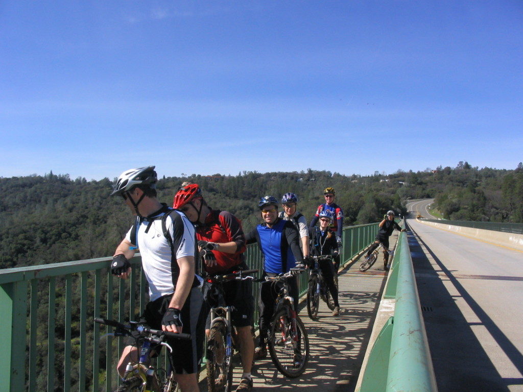
Keep grunting up the hill (there are two switchbacks) up to Foresthill Road. Turn right on the road and cruise over onto the Foresthill Bridge. The view of the North Fork and the Confluence Area from the bridge is spectacular. Take a few minutes to suck it in and recover from the climb... the next section of trail is going to work you a bit.
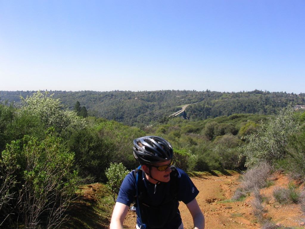
Cross over the bridge and carefully cross to the north side of Foresthill Road. About 1/2 mile from the bridge there is a small trailhead. Go under the bar and take this trail (Fuelbreak trail). Fuelbreak takes you to what I believe is the highest elevation of the ride. There are some decent views up here but what this section of trail is really about is suffering.
Photo: Looking back at the Foresthill Bridge from Fuelbreak.
Stay on the Firebreak trail all the way to the parking area with the Green Gate. When you see the Culvert trail on your right you are almost there and have just a touch of climbing left. Once at the Green Gate take a well earned breather and prepare yourself for some fun singletrack.
Photo: The _Connector Trail_
From the Green Gate look across the road and a little to your right (east) for a trailhead. This is the beginning of the _Connector Trail_. The _Connector Trail_ is flat out one of the coolest sections of singletrack in Auburn (and very posible in all of Norcal). It's 4 miles long and the entire route was hand crafted for mountain bikers by the wonderful folks with _FATRAC_. The flow on this trail is incredible and the views of Lake Clementine and the canyons are awesome. The trail is almost all rolling singletrack with a descent into a ravine and the mandatory climb out.
Photo: This is one section of trail which photos just do justice to.
After 4 miles of the _Connector Trail_ you wind up in a small clearing with a Y in the trail. If you are doing the entire loop go right and take the loop counter clockwise. If time is limited go left to ride the north side out-and-back as it has the best sections of singletrack.
Foresthill Divide is a pretty fun loop by itself. If you went right at the fork you will shortly run into Foresthill Road. Cross the road and stay to the left at the next fork in the trail (going to the right here will take you to the Foresthill Divide Trailhead). On the south side of the loop there are a few confusing spots but most are marked. When you are almost halfway done with the loop there is a parking lot which is generally used by horseback riders. Make certain to look for the trailhead on the east end of the lot rather than taking the road out.
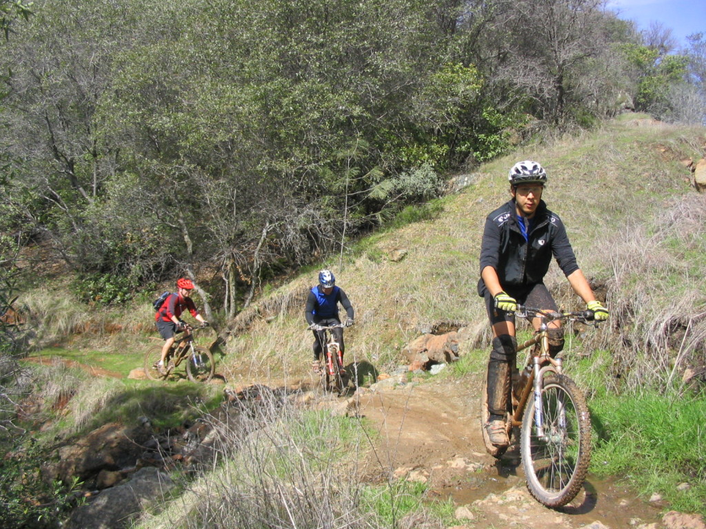
Photo: One of several moderate climbs on the south side of Foresthill divide.
Shortly after the parking lot the trail dumps out onto Foresthill road. The trailhead for the north end of the loop is to your right a bit. This is a good area to rest for a bit, there is a picnick bench and a porto-potty and even a tiny bit of shade.
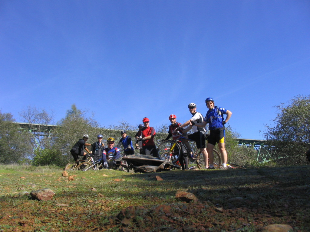
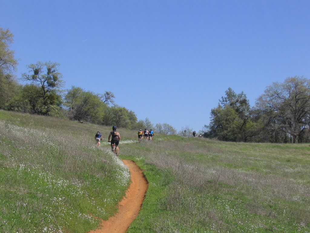
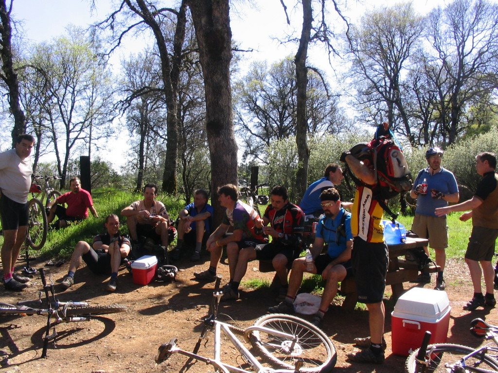
Photo: A large MTBR group ride enjoying some refreshments at the halfway point of the ride.
After wrapping things up at the Drivers Flat rest area take the trail that heads east. This is the north side of the Foresthill loop and includes some great sections. As a bonus it gets a bit more shade than the south side does in the afternoon so it stays a touch cooler.
After about 7-8 miles of some nice singletrack the trail forks again. The right fork will take you back to the _Connector Trail_. Follow the _Connector Trail_ back to the Green Gate. Cross the parking lot and take Fuel Break trail up the way you came. This time after a moderate climb and a short downhill watch for a hard left turn onto the Culvert trail at the bottom of the hill.
Photo: Impy on the _Connector Trail_
The Culvert Trail is the downhillers trail. This is the run that the downhillers shuttle 6 or 7 times a day. It's fast, technical and has some built up jumps, it's not exactally singletrack for most of the downhill but it is a lot of fun and keeps you on your toes. When I first started riding it was a long time before I was able to ride this without dabbing or walking a section or two. Things are different now, the trail has change a bit and I'm a world better rider.
The Culvert trail is so named because of a huge culvert which the trail takes under Foresthill Road. After the Culvert the trail gets quite a bit more technical for a while, then shoots straight downhill and exits onto Old Foresthill Road.
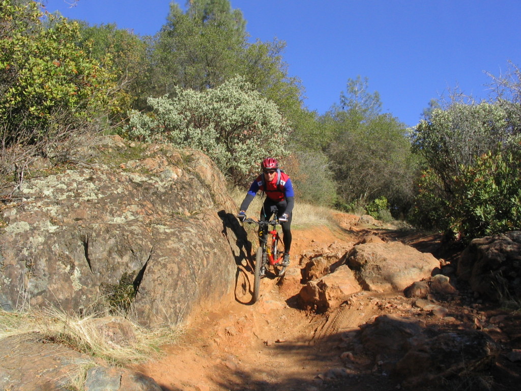
Photo: Kevin taking a turn on the Culvert trail
Cross Old Foresthill road and go down the road opposite where the Culvert trail lets out. About a quarter mile down the hill there is a gate on the right hand side. This is the top of the Confluence downhill. This section of trail is one of the fastest, flowiest downhills in the Auburn SRA. This was an old roadbed for much of the trail and it is deceptively steep. You can really rip down this section and get yourself into trouble with technical sections or exposed cliffs. I've ridden this many times and it is still an incredibly fun way to end the ride.
For those who started in the ravine this is the end of the ride. If you started at Russell Road then you need to cross the river and find the trailhead on the west side of the ravine and climb back up to your car.
Photo: Old School - The Ogre riding the Confluence trail back when he thought the Clementine Loop was a long ride.