Navigate:
Top -->North Sierra Nevada
-->Downieville Downhill
Overview
- Date Reviewed: Summer 2002
- Type of trail : Multiple Options - One Way Shuttle
- Distance as rode : 22 miles
- Total Miles (Available) : 30+ miles
- Climbing Distance : Less than 1000' if shuttled
- Trip Duration : 5 Hour Ride time; 6 hours total drive time (from Stockton)
- Difficulty : Varied, mostly 5-6 (Scale of 1-10)
- Trail Type : 20% Fireroad+, 20% 4WD Trails, 60% Singletrack
- Cardio : Moderate w/Shuttle - Extemely Stenuous Without
- Time of day : Morning - Early Afternoon
Summary
Note: This review is quite dated and was from when I was a fairly new rider. The trail information is still acurate though.
Snuggled way up North in the Tahoe National Forest is a tiny little town that derives it's revenue from Fishing, Gold Mining, and Mountain Biking. Downieville is situated right on Hiway 49 on the banks of the Yuba River which is where most of the gold mining and fishing takes place. More importantly the town sits at the base of one of the most fun and challenging sets of mountain biking trails in California.
The Downieville Downhill is a combination of 4 wheel drive trails, fireroads, and singletrack that stretches 19 miles from Packer Saddle to the town of Downieville. Most people shuttle up the 4000' climb, which is what we did. You also have the option of climbing up asphalt and gravel roads to the top making it a 38 mile loop. I hate shuttling anywhere, but 4000' is simply beyond my ability at this point. One of my goals for next year is to ride Downieville without the shuttle.
Steve has some videos of our ride posted on his web site.
Location:
Take I-80 East from Sacramento to Auburn. From Auburn take 49 North to Downieville. If you are shuttling I suggest you call ahead and find out from the shuttle service where to park your car. We used Downieville Outfitters, but I didn't care for the bike racks on their vehicle.
Links
I went with Steve Wolf who went with me to Wilder Ranch in Santa Cruz a few weeks ago. Steve is a bit older than me and a more conservative rider than I am, riding at his pace probably saved me from a nasty crash. Fortunately luck was with us and we both stayed crash free and had no mechanical problems or flats. We went on a Tuesday morning to avoid traffic on the trail and it worked, we had the entire 20 mile ride to ourselves.
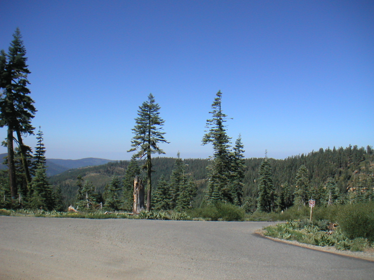
Packer Saddle
This is the top, Packer Saddle. To start off follow Road #93 out of the parking lot. As you start, take it easy you are over 7,000' up and the air is a little thinner than you are probably used to.
Getting There
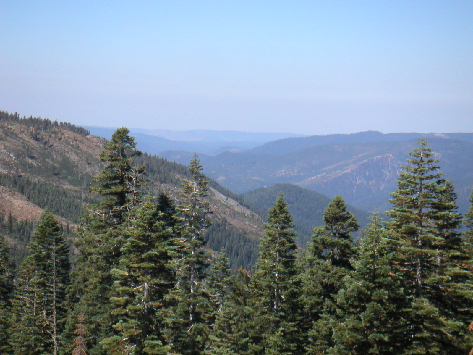
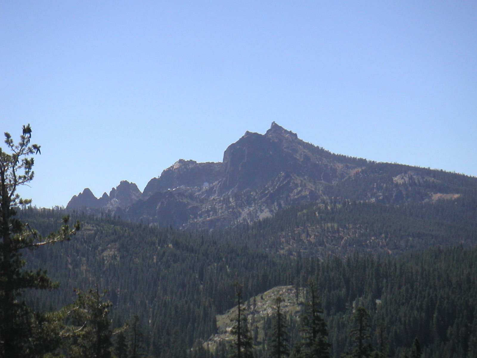
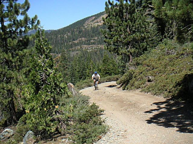
To get to the trailhead for Pauley Creek you follow gravel roads along the ridge for quite a while before descending the 4WD trail which is the start of the fun. About the most interesting thing about this section was the awesome views.
Four Wheel Drive Trail
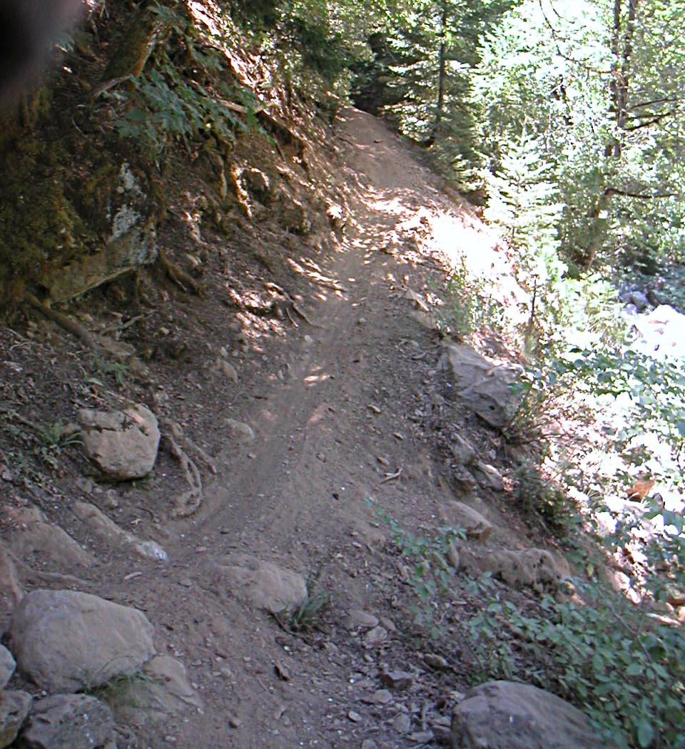
After about 5 miles of gravel road you turn left down a steep 4 Wheel Drive trail. This section of the trail is almost all downhill and is extremely rocky. You are still above much of the terrain and the views from this portion of the trail are still quite phenominal.
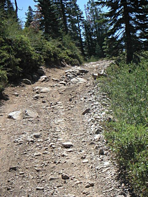
Although the 4 Wheel Drive trail is wide enough to accomodate a car or truck don't discount this section as just being fireroads. The trail is so rocky at this point that it really tests you abilities on the bike. Try to keep your speed up on these points so your bike can roll over obstacles. If you have a hardtail or a rigid bike you will be tested here.
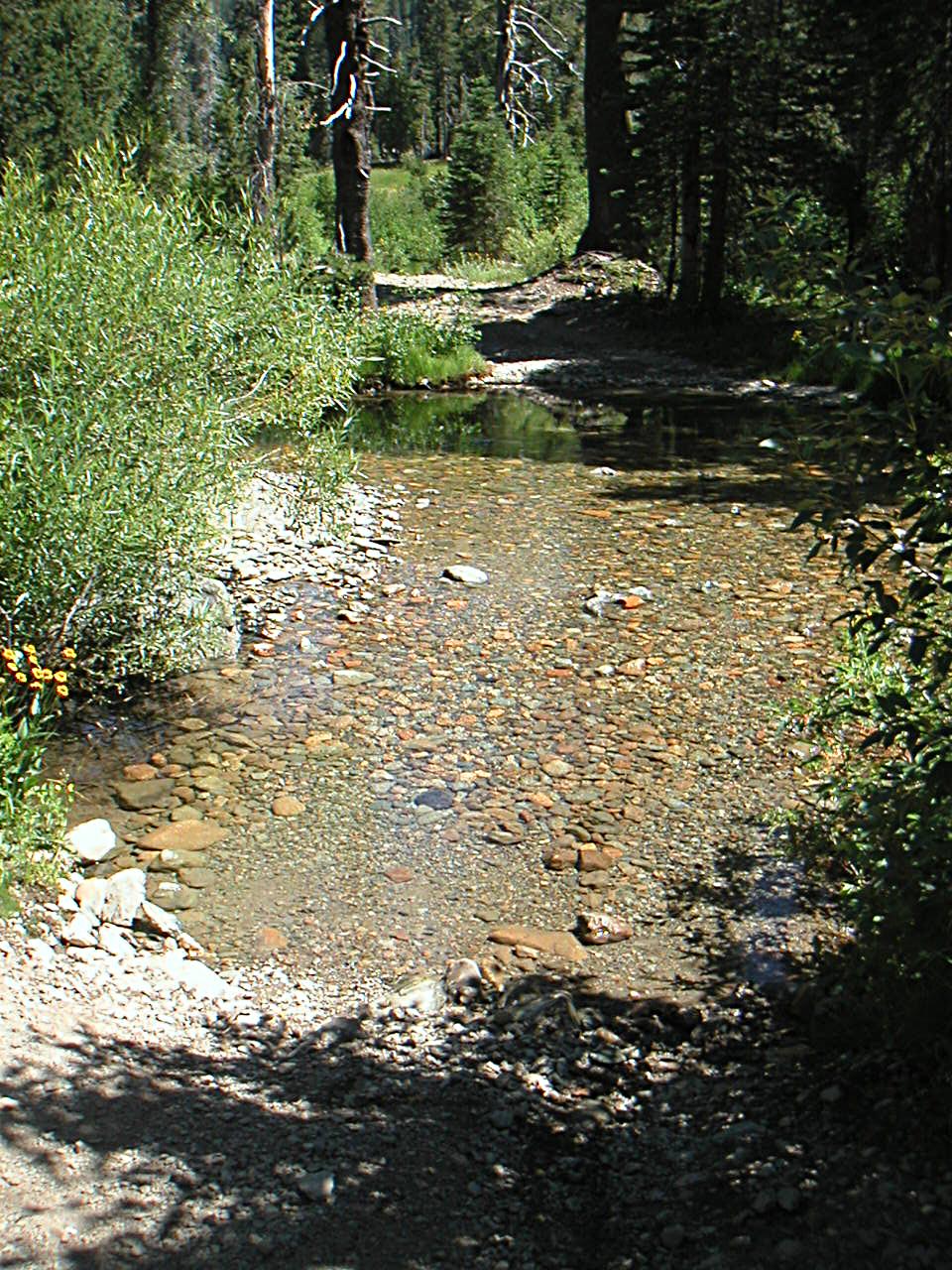
Creek Crossing
At the bottom of the 4WD trail there is a wide creek crossing. Just keep pedaling through it and you should make it with no problems. During the early spring the water levels can be higher and this section can be dangerous. Don't stop when you clean the creek, there is a tough uphill immediately after it.
Pauley Creek
I hope you finished the creek crossing in a low enough gear. Many riders will wind up walking this challenging little uphill. Shortly after this make certain you take the left fork in the trail to get to Pauley Creek Trail.
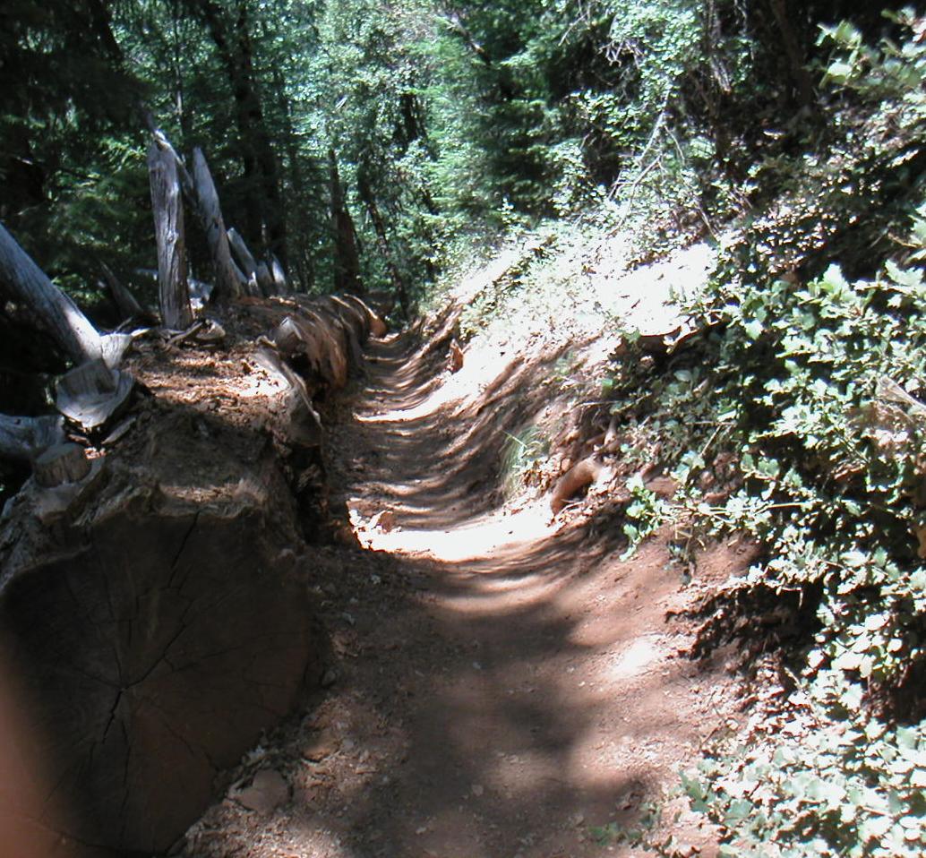
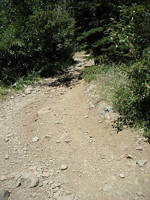
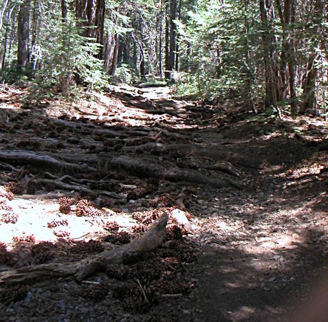
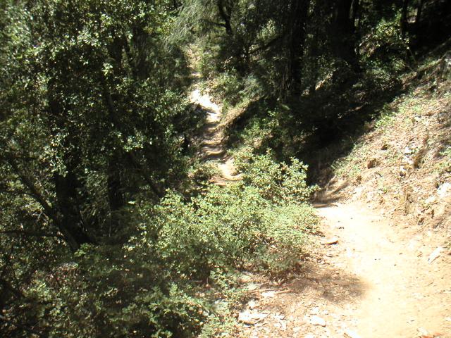
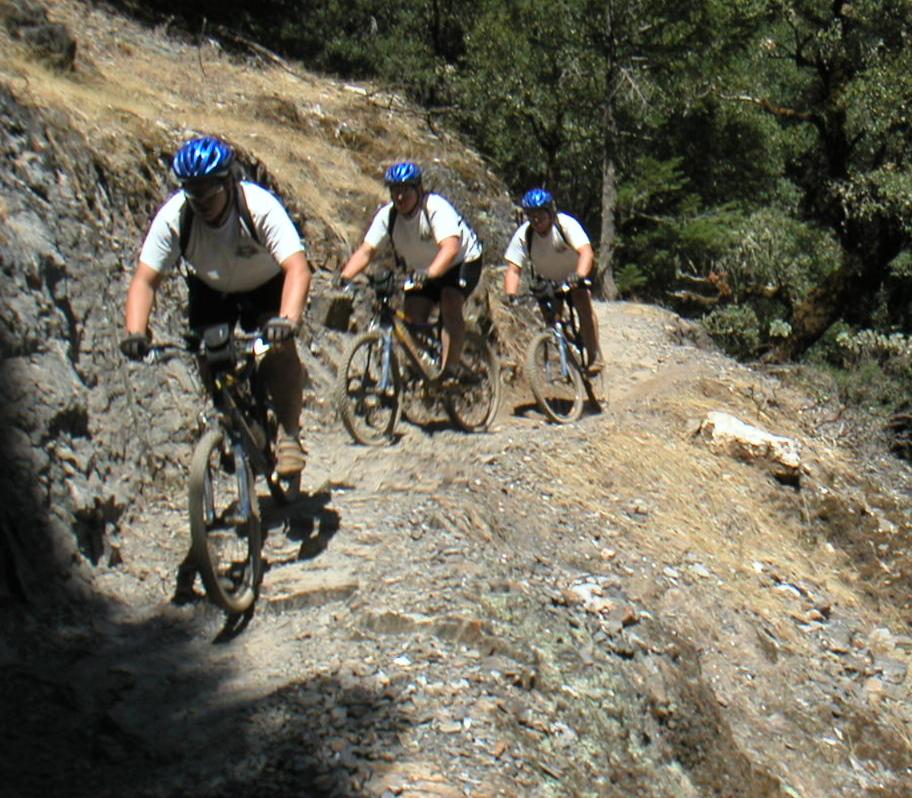
I guess they call this singletrack. This is the much abused top section of Pauley Creek Trail. For this portion of the ride the trail is shared with motorcycles and other OHVs.
The soil on the trail at this point is very loose and dusty from the motorized vehicles. There are switchbacks, jumps, and banked curves to play on.
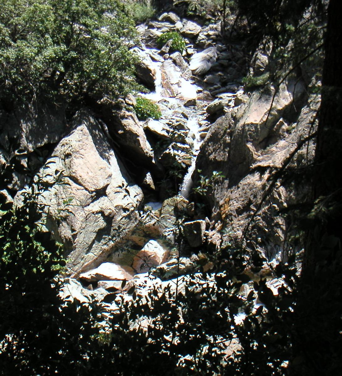
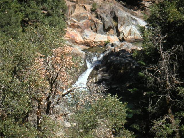
As you travel down Pauley creek you can hear the water rushing down a series of waterfalls and rapids. I snuck off the trail for a minute and peeked between the trees to snap this shot of Pauley Creek. I imagine that during the spring this display is even more impressive.
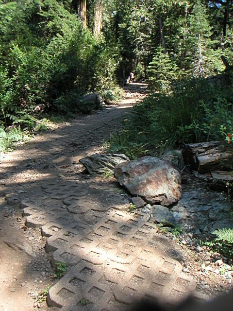
Looks like a walk in the park, but looks are deceiving. This section of the trail is so steep that they put these grid shaped blocks down on the trail to control (mountain biker caused) erosion. This section was so steep that even with the improved traction it scared the hell out of me.
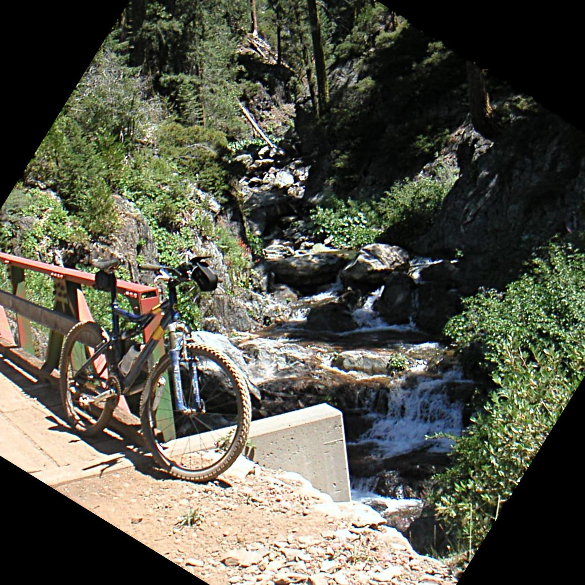
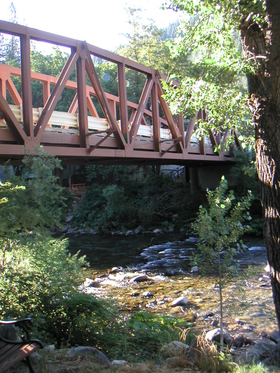
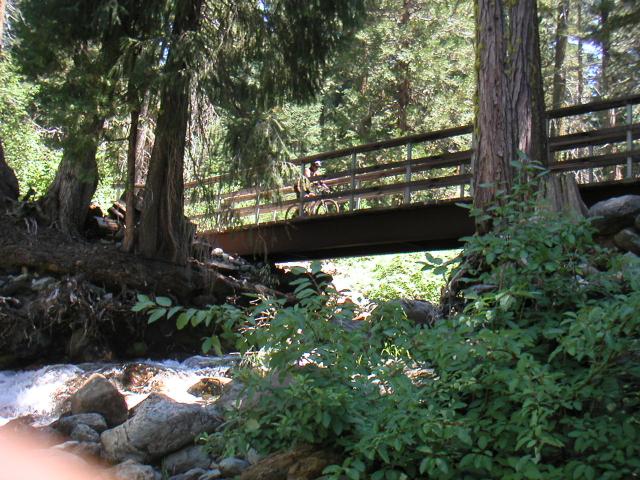
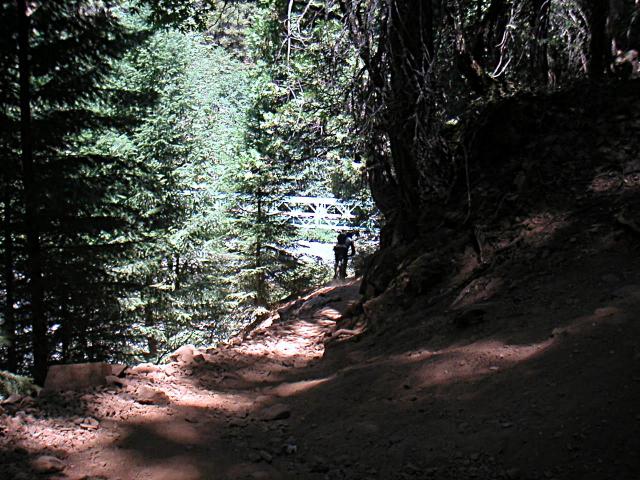
It was really tough to go down this hill without playing the tourist at least a little. The views were so incredible and it was so quite and peaceful. I was really impressed with the quality and quantity of cool bridges on this trail. Almost all of the bridges had awesome views like this one. It probably would have been a better shot if I had held my camera straight instead of tilting it.
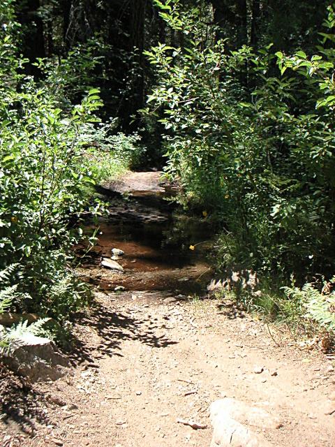
Towards the bottom of Pauley Creek Trail there are a lot of small tributaries that cross the trail. Most of them are reinforced with the grid blocks, and fairly easy to cross. A couple of them have rocks, or big tree roots on the far side which made them tough to cross. On one of these little mini-creek crossings we had our only mishap of the ride.
Steve had trouble cleaning a rock after a creek crossing and bumped his leg which was raw from an incident on a previous ride. It wasn't much but since it was already raw from his prior crash it bothered him for the rest of the ride.
Apparently someone got bored with the rocks so they installed this series of exposed tree roots to keep things interesting.
Shortly after this the bridge crosses over Pauley Creek the trail merges with the Butcher Ranch Trail.
Butcher Ranch Trail
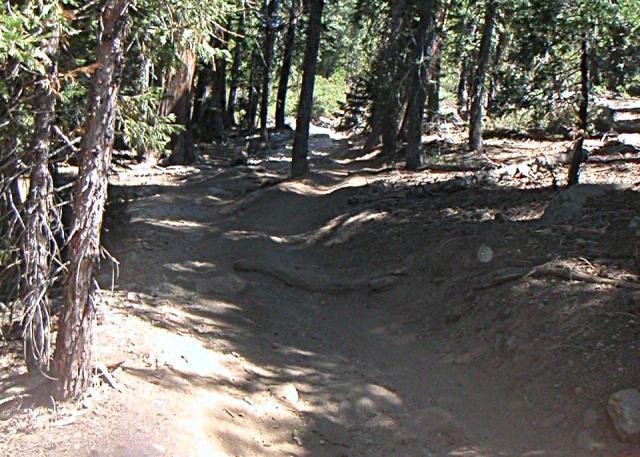
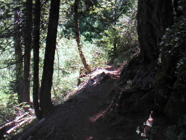
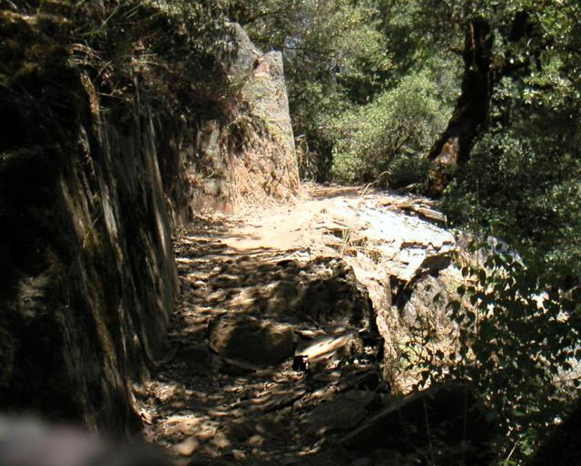
Most of Butcher Ranch trail was like this, well used singletrack going along a cliff face. There are plenty of tricks to keep you entertained along the way; drop offs, big rocks, tree roots, you name it. There were a couple of spots I rode that I would have walked if I had seen them coming. I was feeling good and had a nice rhythm going throughout this entire section, in fact I had a good rhythm the whole day. It was a great day to ride.
On this section of the trail you can really see the damage that hundreds of mountain bikes a year can cause to a trail. Please learn how to ride using both brakes and try not to drag your rear tire over sections like this.
Towards the end of Butcher Ranch Trail you cut back across Pauley Creek again. To access the bridge you go down a steep, loose switchback and then down the skinny little trail to the bridge.
The Skinny little trail to the bridge... It doesn't get much skinnier than this.
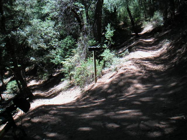
The Big Y
It is at this point on the trail that you get to decide Second or Third Divide Trail. The Third Divide Trail is the road most travelled, from here it is almost all downhill. The Second Divide Trail is 2 miles longer and requires some climbing. Additionally the Second Divide Trail has more exposed trails and more difficult obstacles. Not knowing what we were in for we went downhill to take the Second Divide Trail.
Second Divide Trail
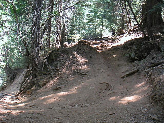
When you take the Second Divide trail it is obvious that this is the road less travelled. The singletrack is narrower, and fairly hard packed. Large sections of the Second Divide trail are extremely smooth, hard packed and banked singletrack. Then quite suddenly the trail will hit a section with short, steep uphills and descents. The steep hills are hard to ride and once you clip out they are so steep it's hard to get back rolling.
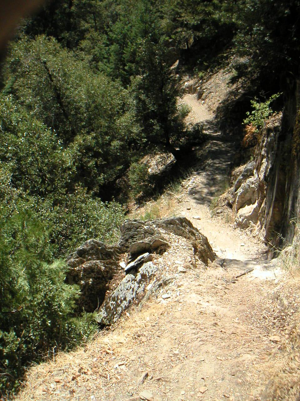
Shortly after the dinosaur bones the trail begins to follow along the course of the creek. The trail at this point is cut into a steep hillside with a sharp drop on your left and sheer rock on your right. I wouldn't call this a cliff, but if you go off to the left you will probably slide 15-20 feet down the hill. There was ample evidence that some riders had done exactally that. OUCH!
I think I cleaned this rocky drop, but there were many sharp uphills which were extremely challenging and prompted us to do a little hike-a-bike.
First Divide Trail
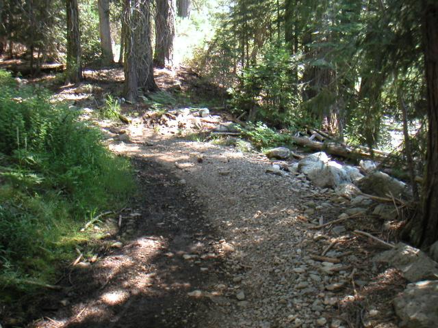
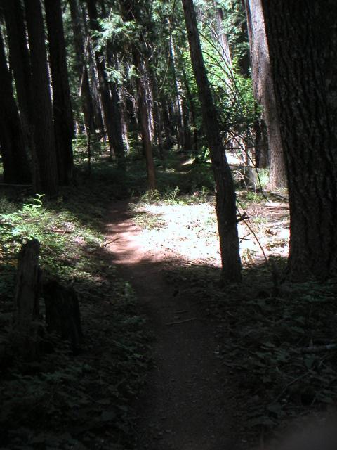
The First Divide Trail starts out pretty rocky, but is very rideable. Then turns into fast rolling singletrack which is mostly downhill. For sheer fun factor this is one of the best sections of the trail. The trail is easy so it can be ridden with confidence by riders of almost any skill level.
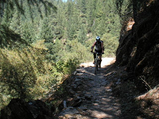
More advanced riders can really fly down these stretches. Be careful of other riders and there are some steep drop offs to the sides, but the trail is wide enough that you can open it up and fly a little. This was by far Steve's favorite section of the trail.
Even as we get to the bottom of the trail there are a few sections that offer a bit of a challenge. They say that if you travel the world long enough you will find someone just like you. It was amazing, they even had Gary Fissure Sugar 3+s with 2001 components!
The views are still great and you can see and hear the creek roaring below.
All done, what a blast! This was probably the most fun I've had on a Tuesday morning in a long long time. I am really looking forward to going back up in September.