Navigate:
Top -->South Sierra Nevada
-->Penn Mine Trails
This weekend I was on call so I couldn't go far from home, I had heard about some trails in Campo Seco, just North of Valley Springs. I figured it was close enough in that I could sneak it and be back in time if I was paged. Fiona came along and rode with me for a change (she usually kicks back in the car) and although she had trouble on some of the hills she managed to stay vertical and had a lot of fun.
To get there take Highway 26 to Valley Springs. There is a 4 way stop sign in Valley springs and Highway 26 turns right. Go straight instead of following the highway. Go down 2 blocks to the stop sign, there should be a sign for Lake Pardee. Turn right and follow the road out of town. About a mile out of town the road Y's. Turn left and left again when the road T's and you see a pond. Follow this road around into Campo Seco. Turn right on Arkansas Ferry road and follow the road until you enter BLM land. There are two cattle grates, stay to the right and park in the first parking area on the left.
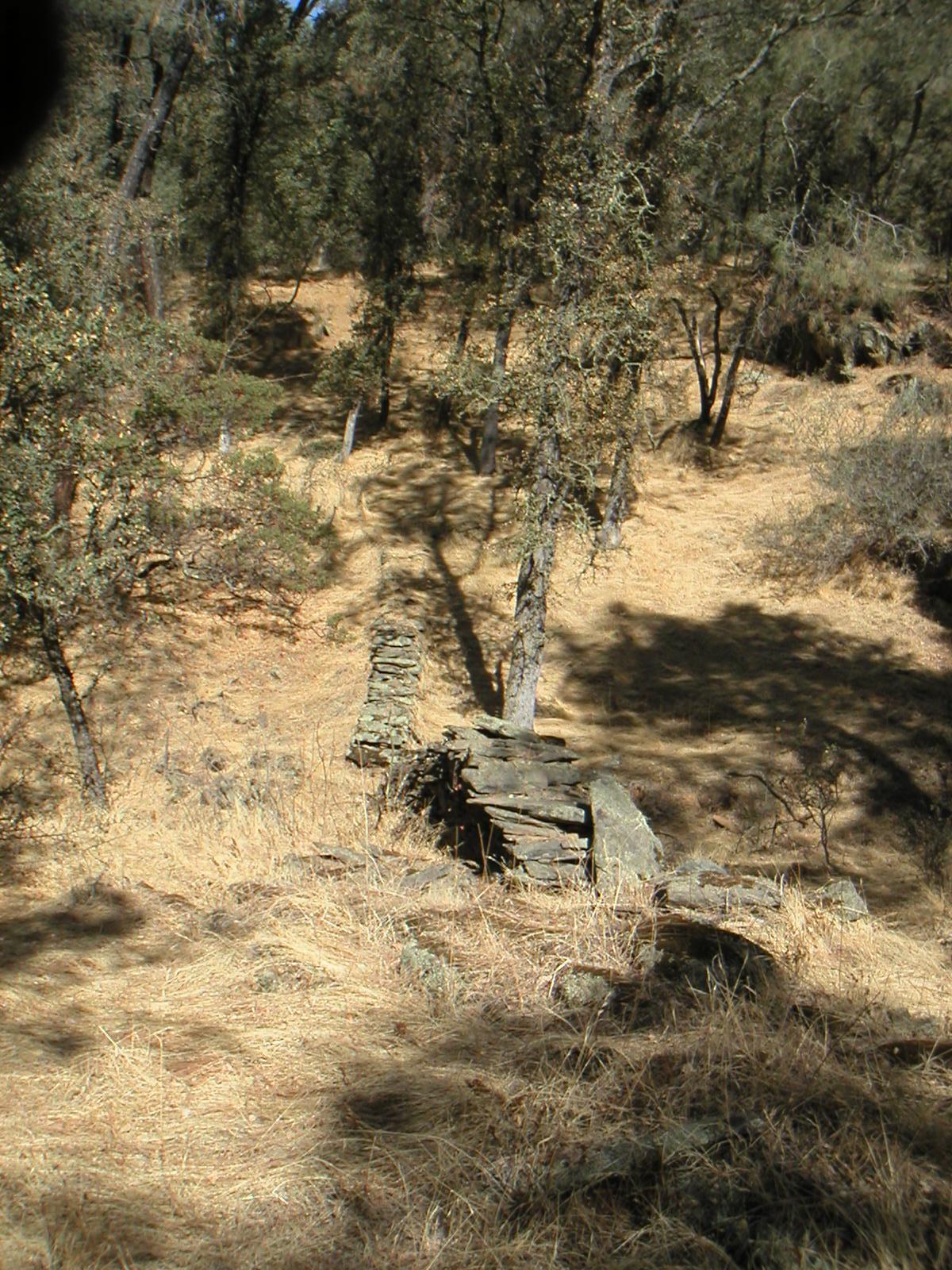
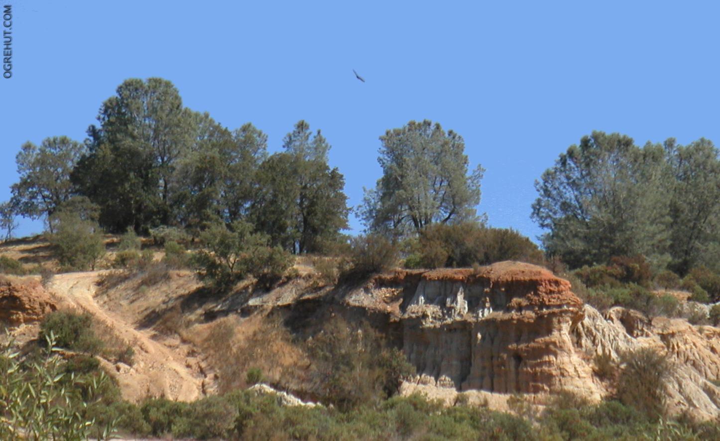
Penn Mine was a copper and zinc mine from 1860 until 1956 at which time the mine closed and the owners disolved the mining company. The mines produced toxic levels of lead and highly acidic runnoff which the water quality board has been cleaning up for the last 10 years. I don't know if this trail system is actually on the site of the old mines, but the BLM park that is outside of Campo Seco certainly has the look of an abandoned (surface) mine. There are unnatual looking hills, short roads that go nowhere and sunken pits and bluffs that appear to be carved out by man rather than natural.
When I first heard of this place it was referred to as the Penn Mine Trails but the Bureau of Land Management designation for the park simply says Campo Seco. This area appears to be used extensively by the local redneck population for 4-Wheeling, drinking, and shooting (lot's of expended rounds) so wear something highly visible.
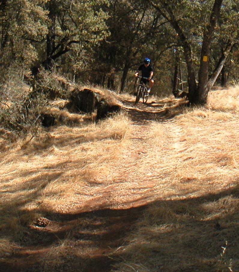
There are roughly 6-10 miles of trails which go up and down the hills in this area, some of the hills are quite steep and a couple of the downhills are severely rutted and can be a challenge. The trails follow no particular pattern and the map at the start of the park is of no real value. To make things more confusing there is a bunch of private land here which is marked no trespassing but where the private land starts and BLM land ends is not entirely clear. Just use your judgement and if someone questions you try to be polite.
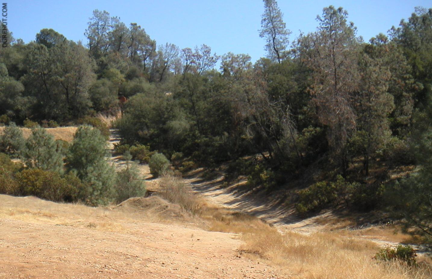
I tried a couple of different routes and none were stellar but was a short fun loop which is good to start out with. Take the wide singletrack west out of the parking lot for about 1/2 mile until it T's into a fireroad. Turn left on the fireroad and head uphill on the fireroad until you see a small clearing (parking area?) on the right. There should be a small motorcycle/ ATV trail going west from this area.
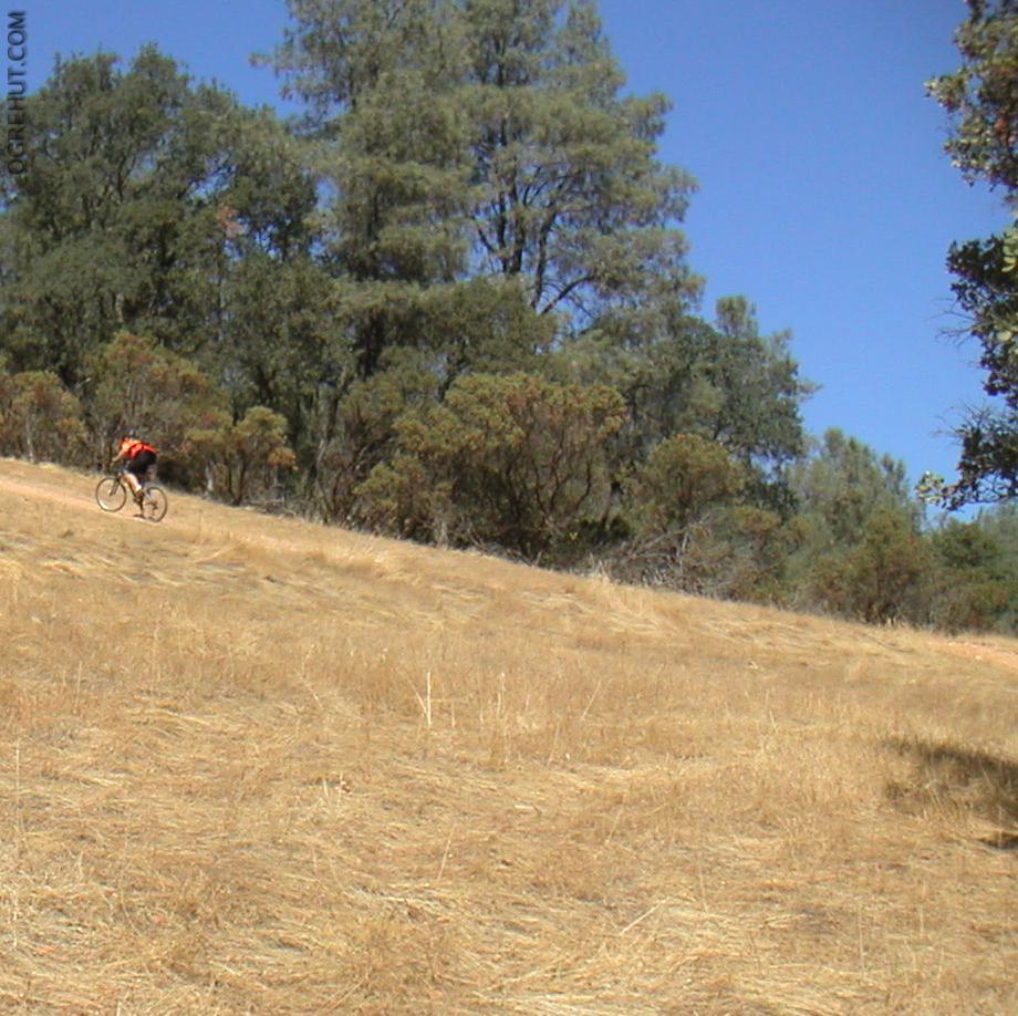
Follow the ATV trail down the hill. It is only about a mile long total. At the bottom of the downhill there is a monster uphill. After working your way up the hill head north as there are some fun trails behind the bluffs. Be careful around the bluffs, when I was leaving last time there was a group of people just showing up and loading their guns and using the bluffs as a backstop for an outdoor shooting area.
This area isn't very big and you will probably wind up looping around some of the areas twice. The whole thing has a sort of BMX park kind of feel to it. I consider this an Ok place to ride for variety on a weekend when I can't go far but it's not really worth much effort if you have other options.