Navigate:
Top -->Folsom Lake/ Auburn Area
-->Clementine to Foresthill
Overview
- Type of trail : Multiple Loops
- Distance : 25 Miles
- Climbing Distance : ~3000'+
- Ride Time : 4-5 Hours
- Driving Distance : 40 minutes East of Sacramento
- Difficulty : 6 (Scale of 1-10)
- Trail Type : 10% Fireroad+, 10% Paved, 80% Singletrack
- Cardio : Stenuous
Summary
This ride in the Auburn Ravine includes all of the major trails on the Foresthill side of the ravine plus the connector trail and the Foresthill Divide Loop.
Location
Take I-80 East from Sacramento to Auburn and turn off on the Hiway 49 exit. Carefully follow the signs to Hiway 49 South. Follow Hiway 49 into the Ravine until 49 turns right across the American River. At this point continue straight for another ~1/2 mile and start looking for parking. This area is the confluence of the North and South Forks of the American River. The road will shortly cross the North Fork of the river. The trailhead is on the east bank of the North Fork American River.
From the confluence of the two rivers if you look towards the Foresthill Bridge (The big Green one) you will see a gate and a dirt road on the right hand (east) side of the river. This is the trailhead to Clementine Lake trail, it starts out as a road but then turns to singletrack for about 1/2 mile before widening back out to a road. You will take this trail for about 1 1/2 miles when it turns into pavement.
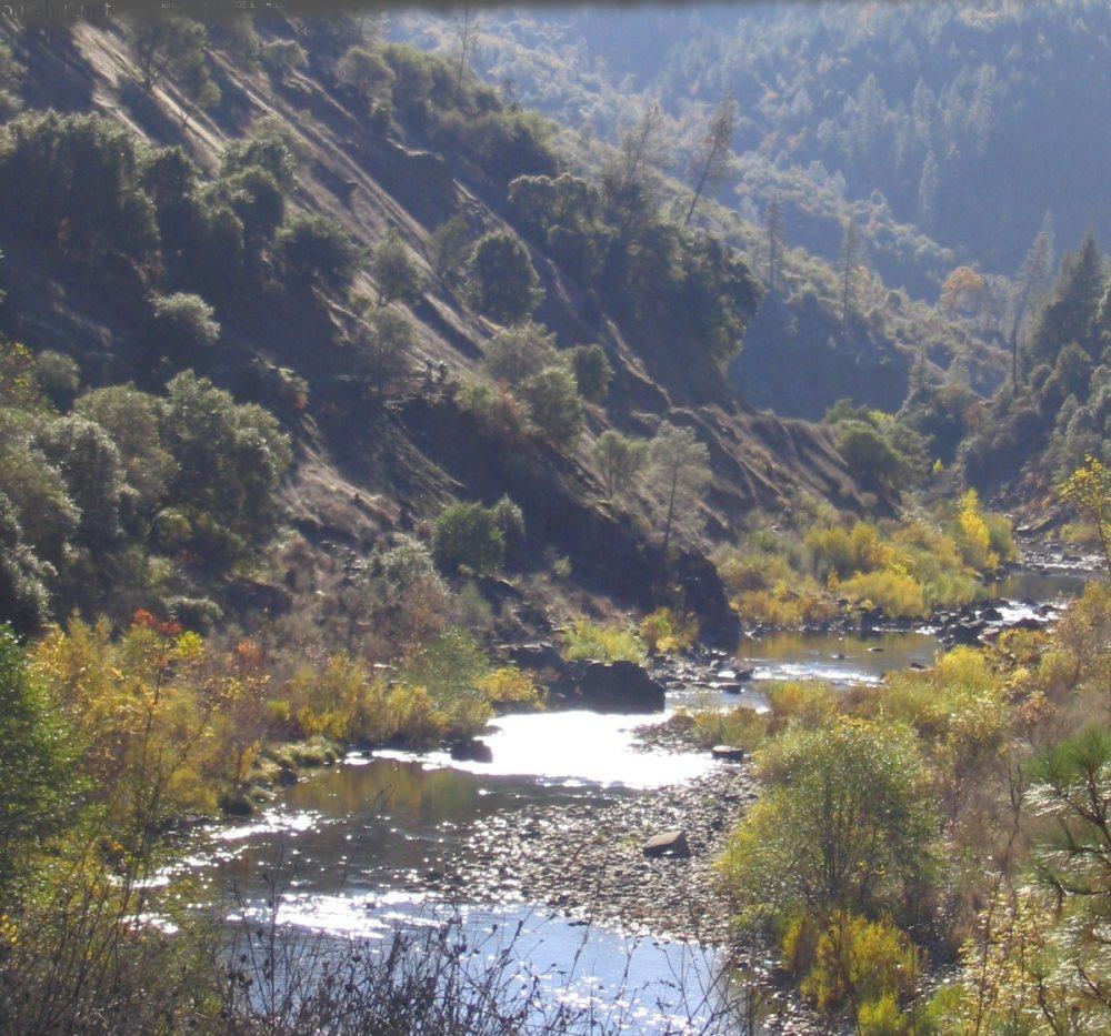
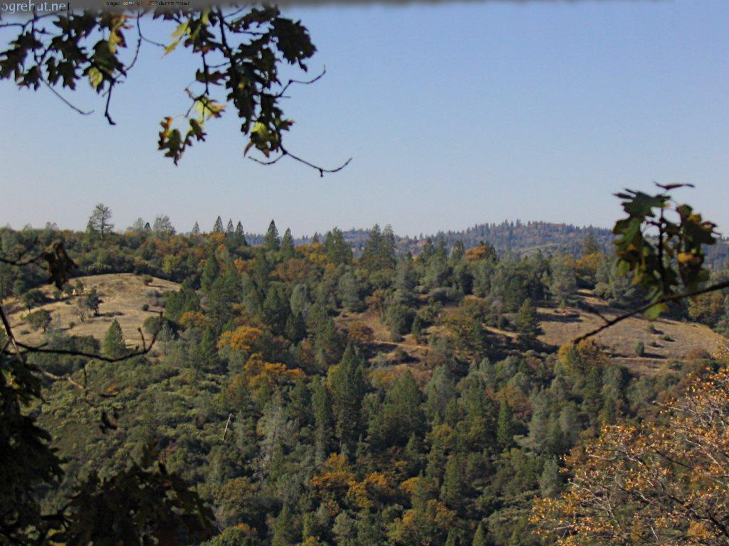
Right around where the pavement starts there are some excellent views of the dam and Clementine Lake which this trail was named for. Make certain you continue UP on the paved road. The road is steeper than the fireroad but it's not too bad. Be careful on the road section, there are frequently trucks hauling boats up or down the road to access the lake.
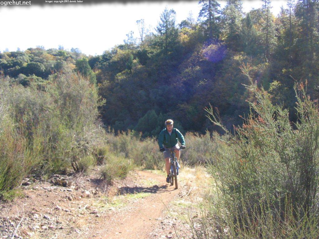
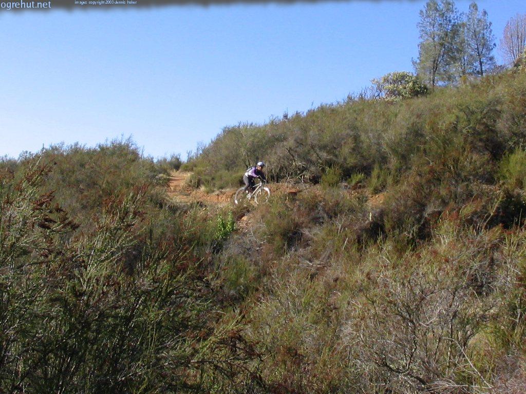
Pictured: John on the Connector trail.
When you get to the dirt parking lot look on the left hand side of the road for the Connector Trail trailhead. This is the beginning of the _Connector Trail_. The _Connector Trail_ is flat out one of the coolest sections of singletrack in Auburn (and very posible in all of Norcal). It's 4 miles long and the entire route was hand crafted for mountain bikers by the wonderful folks with _FATRAC_. The flow on this trail is incredible and the views of Lake Clementine and the canyons are awesome. The trail is almost all rolling singletrack with a descent into a ravine and the mandatory climb out.
Photo: This is one section of trail which photos just don't do justice to. Here is Impy enjoying the trail.
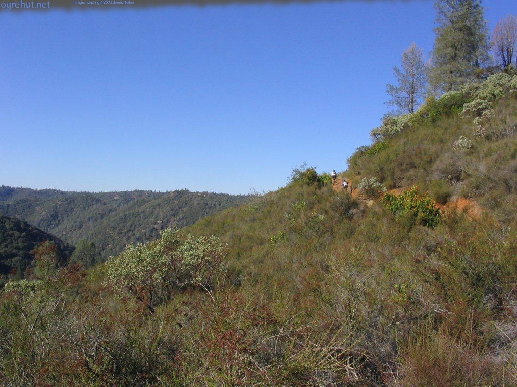
After 4 miles of the Connector Trail you wind up in a small clearing with a Y in the trail. If you are doing the entire loop go right and take the loop counter clockwise. If time is limited go left to ride the north side out-and-back as it has the best sections of singletrack.
Pictured: The climb out of the ravine on the Connector Trail.
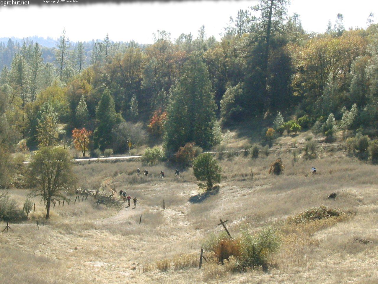
Foresthill Divide is a pretty fun loop by itself. If you went right at the fork you will shortly run into Foresthill Road. Cross the road and stay to the left at the next fork in the trail (going to the right here will take you to the Foresthill Divide Trailhead). On the south side of the loop there are a few confusing spots but most are marked. When you are almost halfway done with the loop there is a parking lot which is generally used by horseback riders. Make certain to look for the trailhead on the east end of the lot rather than taking the road out. Shortly after the parking lot the trail dumps out onto Foresthill road
Photo: A group near the Driver's Flat Picnick area.
Be careful crossing Foresthill Road, the crossing is on a curve people love to take fast. The trailhead for the north end of the loop is to your right a bit. This is the Driver's Flat area and is a good area to rest for a bit, there is a picnick bench and a porto-potty and even a tiny bit of shade.
Looking away from the road in the picnick area the Foresthill Trail is on the left hand side. The north side of the Foresthill loop includes some great downhill sections. As a bonus it gets a bit more shade than the south side does in the afternoon so it stays a touch cooler.
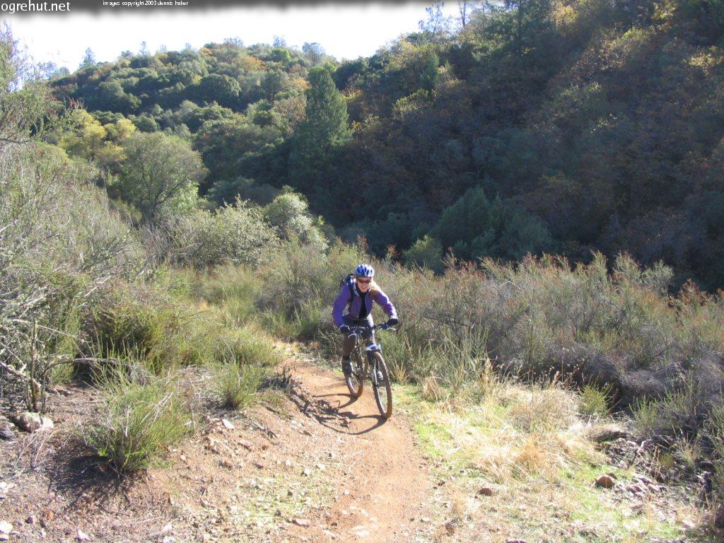
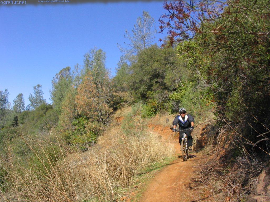
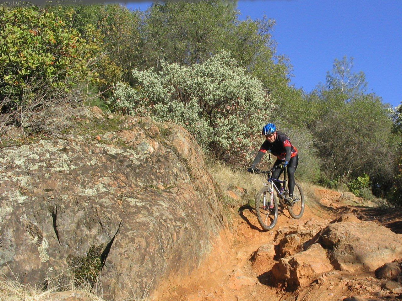
Photo: Danny on the Connector trail... but the Foresthill Divide Trail is very similar.
After about 7-8 miles of some nice singletrack the trail forks again. The right fork will take you back to the _Connector Trail_. Follow the _Connector Trail_ back to the Green Gate and the top of the Culvert Downhill.
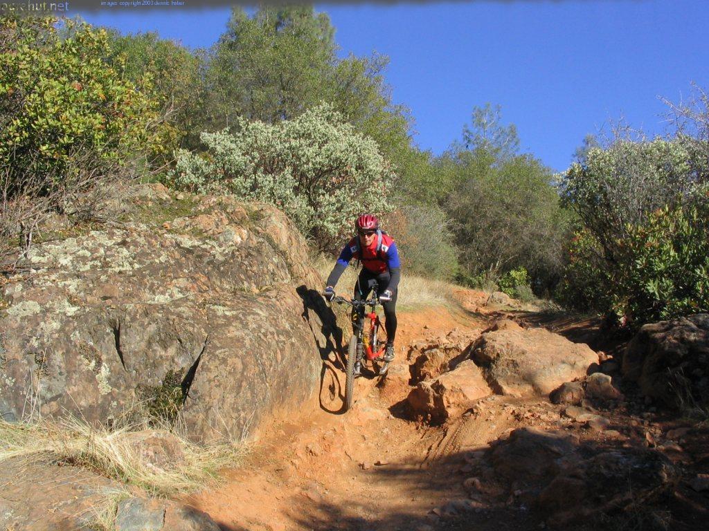
Photo: Dropping down into the ravine on the Connector Trail
At the end of the Connector trail cross the parking lot and look for the Fuel Break trail on the right hand side. Fuel break is the only trail that goes uphill from here. There are two moderate climbs then the trail turns downhill. Look for hard left turn (it's signed well) onto the Culvert trail at the bottom of the hill.
The Culvert Trail and the Confluence Trail that follows it are the most technical sections of this ride.
The Culvert Trail drops you onto Old Foresthill Road. Carefully cross the road and descend down the road opposite where the trail let out. As you go down the road look for a green gate and a dirt road on the right hand side of the road. This is the beginning of the Confluence Trail and leads back to the Confluence where you parked. This section of the trail is fast and includes some fun technical sections. It is also by far the best way to end a ride in the Auburn SRA.