Navigate:
Top -->South Sierra Nevada
-->Pinecrest Peak/ Hammill Canyon
Overview
- Date of Review : August, 2005
- Type of trail : Loop or Shuttled
- Distance as rode : 31 miles (18 shuttled)
- Climbing Distance : ~4500' (1500' shuttled)
- Difficulty : 8 (Scale of 1-10)
- Trail Type : Fireroad climb, 100% Singletrack downhill
- Cardio : Strenuous - Epic (Moderate w/Shuttle)
- When to Ride : Anytime after the snow melts
Summary
This is one of those gems that just happens to be located a bit off the beaten path. Almost as far from Sacramento and the Bay area as Tahoe or Downieville it gets little traffic so the trails don't see the sort of use that those more popular destinations do. However the Pinecrest Peak Downhill is one awesome ride which shouldn't be missed and the lack of traffic only enhances this trails appeal.
This ride really wraps 2 great rides into one awesome epic, the main Pinecrest Peak Downhill and Hammil Canyon. You can ride them together or individually shuttled or as a loop. For more information about these trails check out the linked Trail Pages.
The route for this loop is a little complicated and it's easy to get mixed up so I suggest you print out the maps linked below.
Starting at the Strawberry store go north/ east on Highway 108 until you see a dirt road off to the right. This road should be blocked for with some big boulders so cars can't get though. Take the dirt road up and continue climbing. Before too long there is a 4 way intersection. Take the uphill road to the right (more or less straight ahead) and continue climbing up this road until you hit the pavement.
Turn right on the paved road and look for a sign for the Gargoyles. Take a minute to go enjoy the view of/ from the Gargoyles and then continue up the road. You want the left fork on forest road 4N12, the road gets a bit bumpy. Keep going back for several miles till the road starts to curve back around and dips down. The trailhead is on the right and very hard to spot, it's near the bottom of the dip almost across from a dead end road. A creek runs through a culvert under the road right after the trailhead. The dead end road goes up to Bloomer Lake.
Take a minute to catch your breath and prepare from some challenging downhill/ technical cross country riding.
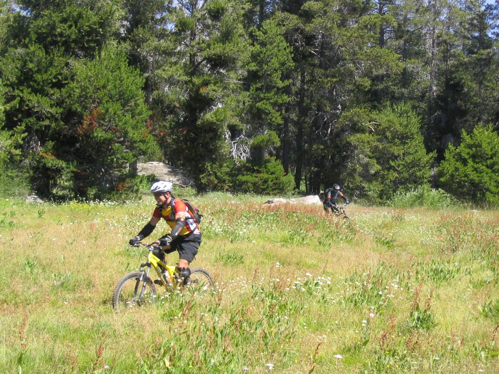
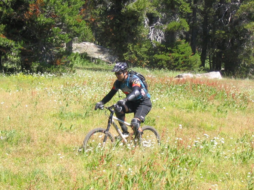
Hammill Canyon trail trail slides through some really cool meadows like a boa constrictor on acid. The trail is fast, technical, and watch out for those stealth rocks that hide under clumps of vegetation. Too quickly Hammill Canyon ends and you have to start climbing again.
Take a left on forest road 4N12 and follow it up for some time. Then turn right again on the next forest road near the top of the climb. You climb for a while longer and then the trail forks again. You can take the road in either direction, the road to the right is a little shorter. Look for a large wooden sign on the right hand side of the road "Pinecrest Peak Trail".
"Pinecrest Peak Trail" starts out wicked and gets wild. The very first part of the trail is a 6' drop with some tricky stairs. Then you take off down a section granite covered with loose chunks of rock, tree roots, 12" drops and hairpin switchbacks that hit you so get whiplash.
The only real navigational issue on the downhill is two turns. The first is right next to a small pond and it's easy to spot. Turn right here, left is trouble. The next turn is harder to spot, it's much further down the hill near the beginning of a boulder field and hidden behind a tree with puzzlebark. You want to turn right there also. If you miss this turn the trail goes down a couple switchbacks and eventually winds up at a lake. We caught our mistake and only had to hike back about 1/4 mile.
The trail zips through rock fields, meadows, around switchbacks, then just when you think it's about over it starts to get even more technical. The last 1/2 mile is a really challenging technical section filled with boulder piles, switchbacks, and switchbacks with boulderpiles. Finally your get to the creek crossing. I don't think anyone rides it. Try to keep your socks wet, get up onto the forest road which turns into pavement and before you can say "Oh what a bitchin' ride" you'll be back at your car. If you shuttled now you have to spend another 90 minutes chasing after extra vehicles... should have climbed.
Location:
About 20 miles east of Twain Hart in the town of Strawberry right off of highway 108. The end of the trail and traditional parking area is the bright red "Strawberry Store" which you can't miss.
If you shuttle this ride you will leave one car at the Strawberry Store and drive the other car up 108. Look for a sign to the "Gargoyles" or Herring Creek road. Drive up Herring Cree road for about 5 miles, shortly after it turns to dirt the road Ys. You can park near the Y or at the Gargoyles (a cool rock formation about 1/4 mile north of the road) or you can drive all the way to the trail head.
Regardless of whether you are riding or driving, turn right at the Y. The road goes over a bridge then climbs for about 3 miles. About 2 miles into the climb there is a forest road that goes to the right, there should be a sign that says Pinecrest Peak. Take the right turn and go uphill about 1/2 mile, go straight through the 4 way interesection and continue climbing.
After about 1/2 mile more you have a choice. There is a bonus section at the top which includes some very challenging technical singletrack. The bonus section is hard to find, challenging to follow, and is definitely expert level riding. If you want to find the bonus stuff go left at the fork. The road to the left climbs up to an overlook and a small circle area with a camp fire. If you look to the south you can clearly see Dodge Ridge Ski resort. While facing Dodge Ridge look directly to your left for a pine tree on the edge of the clearing. The bonus section of trail starts just left of that tree. At first it is very sketchy and it's rocky and tough to ride without momentum. Keep going, there is great stuff ahead. After about 1/2 mile the bonus section merges back into the fire road, follow the road left.
Shortly (regardless of whether you hit the bonus section or not) you should see a sign on the left for "Pinecrest Peak Trail". This is the top of the trail!
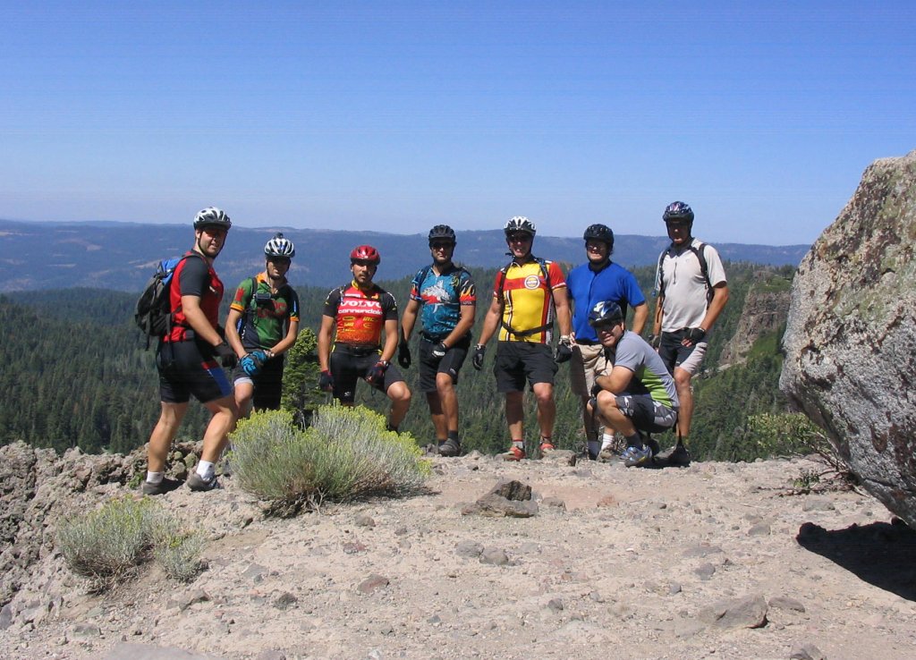
Group shot at the Gargoyles.
Left to right: Ogre, Max, Alex, Todd, Fred, Timoc, Curtis (squatting), and Dave.
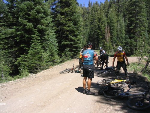
Can you spot the trailhead? Hint: It's on the left.
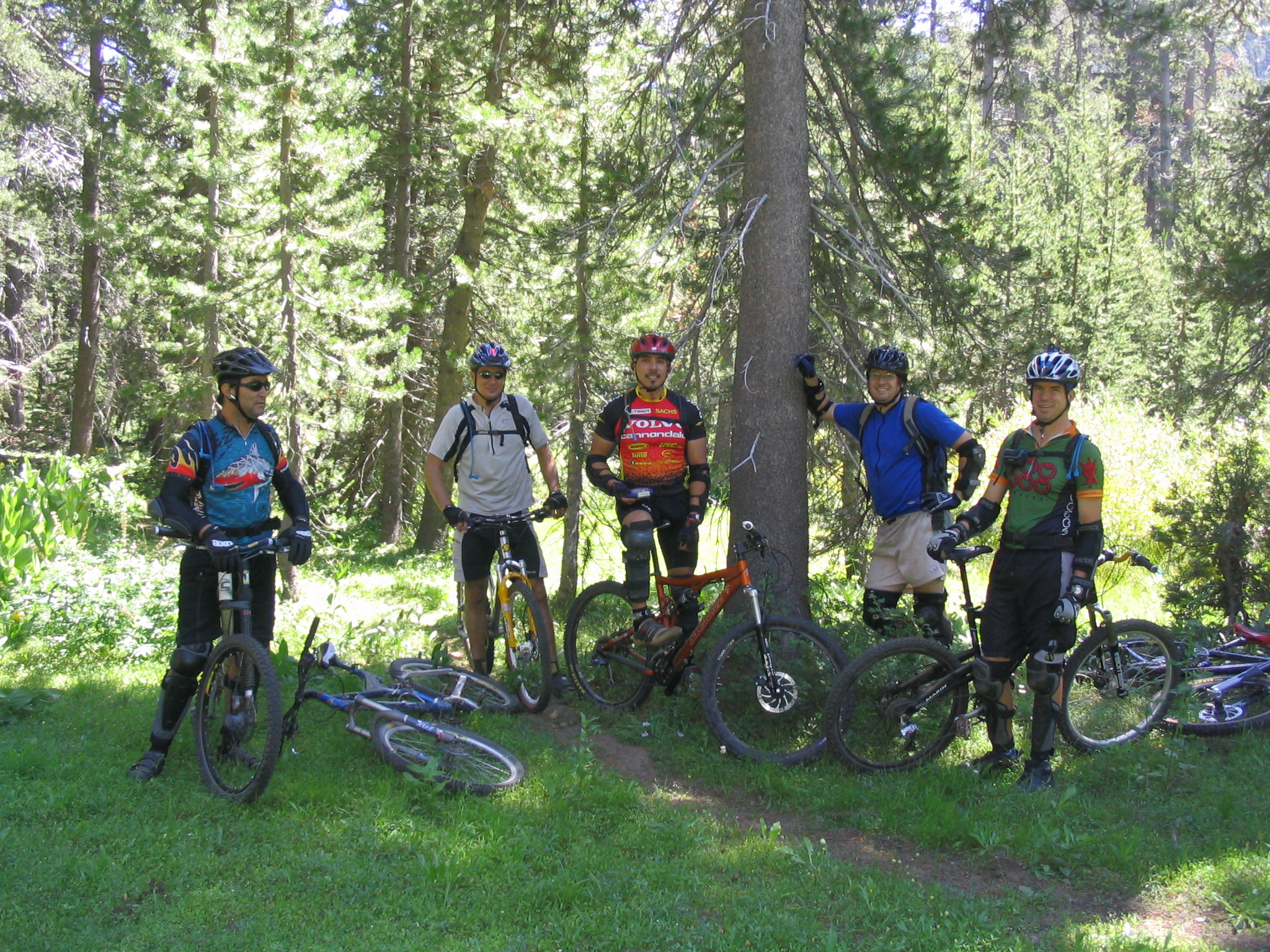
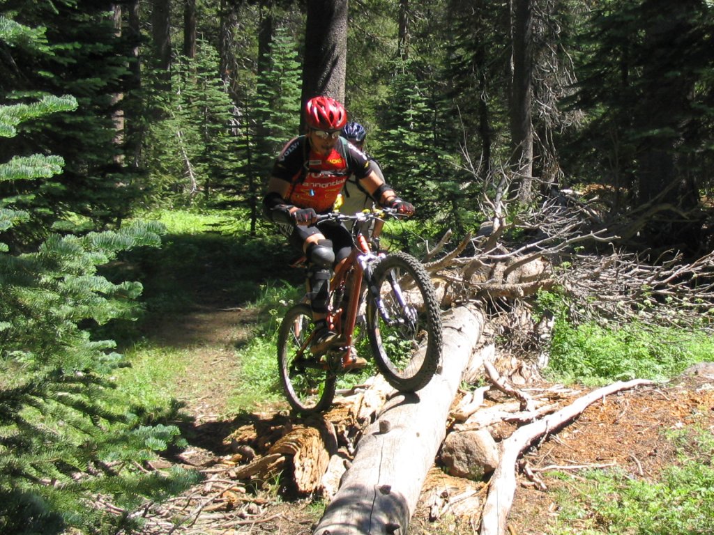
About halfway down Hammill Canyon, everyone is counting body parts after the technical section.
Fred sucking it up.
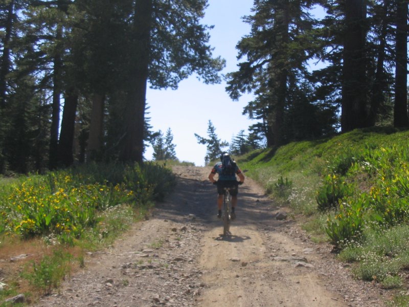
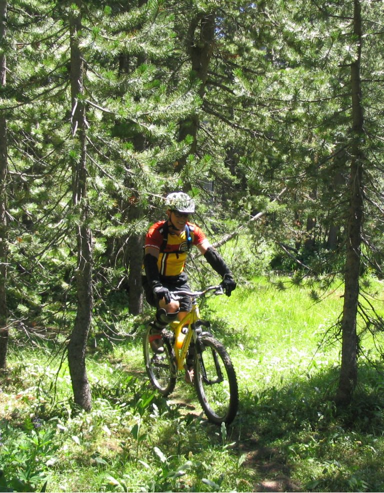
Todd grunting up the last of the climb to Pinecrest Peak.
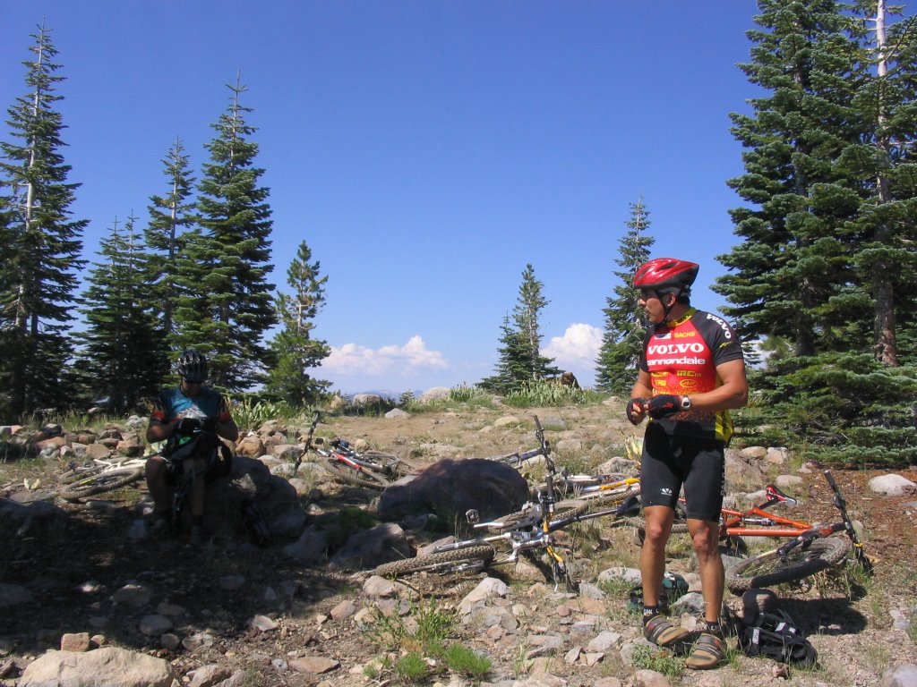
Break time, just before the top of the downhill we stopped at this cool overlook.
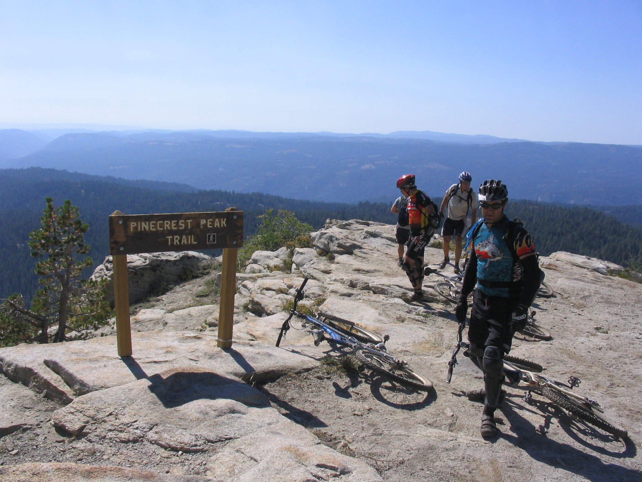
The top of the Pinecrest Peak Downhill, and unfortunately the end of my pictures. We were having so much fun on this trail we just didn't stop long enough to get the camera out. Check out the video to see what this trail looks like.